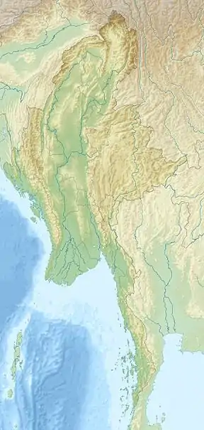
| Minwuntaung Wildlife Sanctuary | |
|---|---|
IUCN category IV (habitat/species management area) | |
 Location in Myanmar | |
| Location | Sagaing Township, Sagaing Region, |
| Nearest city | Sagaing |
| Coordinates | 22°03′00″N 95°57′00″E / 22.05000°N 95.95000°E |
| Area | 205.88 km2 (79.49 sq mi)[1] |
| Established | 1971 |
| Governing body | Myanmar Forest Department |
Minwuntaung Wildlife Sanctuary is a protected area in Myanmar, covering 205.88 km2 (79.49 sq mi). It was established in 1971.[1] It ranges in elevation from 75 to 305 m (246 to 1,001 ft) in Sagaing Township, Sagaing Region. It provides habitat for Indian hog deer (Hyelaphus porcinus) and Indian muntjac (Muntiacus muntjak).[2]
See also
References
- 1 2 World Database on Protected Areas (2019). "Minwuntaung Wildlife Sanctuary". Protected Planet.
- ↑ Beffasti, L.; Gallanti, V., eds. (2011). "Minwuntaung". Myanmar Protected Areas: Context, Current Status and Challenges (PDF). Milano, Yangon: Istituto Oikos, Biodiversity and Nature Conservation Association. p. 64.
External links
Zaw, M. (2018). "Min Won Taung Wildlife Sanctuary to make room for more buildings". The Myanmar Times.
This article is issued from Wikipedia. The text is licensed under Creative Commons - Attribution - Sharealike. Additional terms may apply for the media files.