Miera | |
|---|---|
 Miera | |
| Coordinates: 36°5′28″N 103°33′8″W / 36.09111°N 103.55222°W | |
| Country | United States |
| State | New Mexico |
| County | Union |
| Elevation | 4,902 ft (1,494 m) |
| Time zone | UTC-7 (Mountain (MST)) |
| • Summer (DST) | UTC-6 (MDT) |
| Area code | 575 |
| GNIS feature ID | 898573[1] |
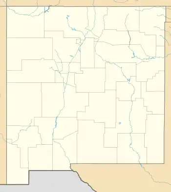
Miera is a ghost town in Union County, New Mexico, United States.[2] The settlement was established in 1875 and a post office operated there from 1887 to 1927. In the 1900 United States census, it had a population of 450.[3] It was located nearby Tramperos Creek.[2]
Notes
- ↑ "Miera". Geographic Names Information System. United States Geological Survey, United States Department of the Interior.
- 1 2 "NMGS 1987 Guidebook Details". New Mexico Geological Society. doi:10.56577/ffc-38.23. Retrieved October 14, 2023.
- ↑ Governor, New Mexico (1903). Report of the Governor of New Mexico to the Secretary of the Interior. U.S. Government Printing Office. p. 244.
This article is issued from Wikipedia. The text is licensed under Creative Commons - Attribution - Sharealike. Additional terms may apply for the media files.
