Metiolkine
Метьолкіне | |
|---|---|
 Flag | |
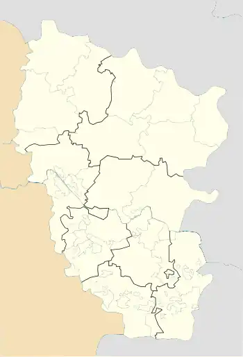
 Metiolkine Location of Metiolkine within Luhansk Oblast#Location of Metiolkine within Ukraine  Metiolkine Metiolkine (Ukraine) | |
| Coordinates: 48°55′47″N 38°32′59″E / 48.92972°N 38.54972°E | |
| Country | |
| Oblast | |
| District | |
| Community | Sievierodonetsk urban hromada |
| Founded | 1820 |
| Elevation | 73 m (240 ft) |
| Population (2022)[2] | |
| • Total | 788 |
| Time zone | UTC+2 (EET) |
| • Summer (DST) | UTC+3 (EEST) |
| Postal code | 93491 |
| Area code | +380 6452 |
Metiolkine (Ukrainian: Метьолкіне) is an urban-type settlement (Ukrainian: селище міського типу) in the Sievierodonetsk urban community, Sievierodonetsk Raion of Luhansk Oblast of eastern Ukraine.[3][4] Population: 788 (2022 estimate)[2]
During the battle of Donbas (2022), Metiolkine was taken over by Russian and separatist forces.[5]
Demographics
Native language distribution as of the Ukrainian Census of 2001:[6]
References
- ↑ "Metiolkine (Luhansk Oblast)". weather.in.ua. Retrieved 16 June 2022.
- 1 2 Чисельність наявного населення України на 1 січня 2022 [Number of Present Population of Ukraine, as of January 1, 2022] (PDF) (in Ukrainian and English). Kyiv: State Statistics Service of Ukraine. Archived (PDF) from the original on 4 July 2022.
- ↑ "Про утворення та ліквідацію районів. Постанова Верховної Ради України № 807-ІХ". Голос України (in Ukrainian). 18 July 2020. Retrieved 3 October 2020.
- ↑ "Нові райони: карти + склад" (in Ukrainian). Міністерство розвитку громад та територій України.
- ↑ "Окупанти захопили Метьолкіне біля Сєвєродонецька". tribun.com.ua. 20 June 2022. Archived from the original on 20 June 2022. Retrieved 20 June 2022.
- ↑ Розподіл населення за рідною мовою на ukrcensus.gov.ua
This article is issued from Wikipedia. The text is licensed under Creative Commons - Attribution - Sharealike. Additional terms may apply for the media files.