| Menai | |
|---|---|
| Electoral ward | |
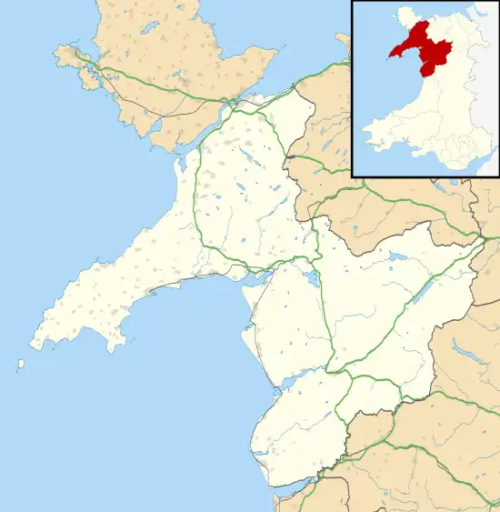
 Menai Location within Gwynedd | |
| Population | 2,196 (2011 census) |
| Community | |
| Principal area | |
| Country | Wales |
| Sovereign state | United Kingdom |
| Post town | CAERNARFON |
| Postcode district | LL55 |
| Dialling code | 01286 |
| UK Parliament | |
| Senedd Cymru – Welsh Parliament | |
| Councillors | 1 (County) 4 (Town Council) |
Menai is the name of an electoral ward in the town of Caernarfon, Gwynedd, Wales. As the name suggests, it borders the Menai Strait. The ward elects councillors to the town council and Gwynedd Council.
Description
The Menai ward covers the northwest part of the community, including Caernarfon town centre north of the High Street. It is bordered to the east by the B4366 Bethel Road. The Caernarfon ward of Cadnant lies to the east.[1]
The ward population, according to the 2011 Census, was 2,196.[2]
Town ward
Menai is an electoral ward to Caernarfon Town Council electing four of the seventeen town councillors.[3]
District ward
Menai (Caernarfon) was a ward to Arfon Borough Council (abolished 1996), electing two councillors at the 1987 and 1991 elections.[4]
Gwynedd county ward
Menai (Caernarfon) has been an electoral ward to Gwynedd Council since 1995, electing two county councillors at the 1995 and 1999 elections.[5] From the 2004 elections the representation reduced to one county councillor.[6]
See also
References
- ↑ "Election Maps GB". Ordnance Survey. Retrieved 1 May 2019.
- ↑ "Menai (Caernarfon) - Key Stats". UKcensusdata.com. Retrieved 1 May 2019.
- ↑ "Councillors". Caernarfon Royal Town Council. Retrieved 1 May 2019.
- ↑ "Arfon Welsh District Council Election Results 1973–1991" (PDF). The Elections Centre (Plymouth University). Retrieved 1 May 2019.
- ↑ "Gwynedd Council Election Results 1995-2012" (PDF). The Elections Centre (Plymouth University). Retrieved 1 May 2019.
- ↑ "The County of Gwynedd (Electoral Changes) Order 2002 - Schedule". legislation.gov.uk. The National Archives. 6 December 2002. Retrieved 1 May 2019.