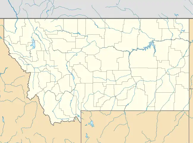
Maverick Mountain, Montana | |
|---|---|
 Maverick Mountain  Maverick Mountain | |
| Coordinates: 45°24′49″N 113°6′51″W / 45.41361°N 113.11417°W | |
| Country | United States |
| State | Montana |
| County | Beaverhead |
| Area | |
| • Total | 1.85 sq mi (4.79 km2) |
| • Land | 1.85 sq mi (4.79 km2) |
| • Water | 0.00 sq mi (0.00 km2) |
| Elevation | 6,740 ft (2,050 m) |
| Population (2020) | |
| • Total | 67 |
| • Density | 36.22/sq mi (13.99/km2) |
| Time zone | UTC-7 (Mountain (MST)) |
| • Summer (DST) | UTC-6 (MDT) |
| ZIP Code | 59746 (Polaris) |
| Area code | 406 |
| FIPS code | 30-48585 |
| GNIS feature ID | 2804263[2] |
Maverick Mountain is a census-designated place (CDP) in Beaverhead County, Montana, United States, consisting of residences in the valley of Grasshopper Creek at the base of Maverick Mountain Ski Area. It is in the northern part of the county, along the Pioneer Mountains Scenic Byway, 4 miles (6 km) north of Polaris, the nearest post office, and 35 miles (56 km) northwest of Interstate 15 at Dillon, the Beaverhead county seat. Maverick Mountain, for which the CDP and the ski area are named, rises to a summit elevation of 8,722 feet (2,658 m) to the northwest. The scenic byway continues north 34 miles (55 km) to the town of Wise River in the Big Hole River valley.
Maverick Mountain was first listed as a CDP prior to the 2020 census.[2]
Demographics
| Census | Pop. | Note | %± |
|---|---|---|---|
| 2020 | 67 | — | |
| U.S. Decennial Census[3] | |||
References
- ↑ "ArcGIS REST Services Directory". United States Census Bureau. Retrieved September 5, 2022.
- 1 2 3 "Maverick Mountain Census Designated Place". Geographic Names Information System. United States Geological Survey, United States Department of the Interior.
- ↑ "Census of Population and Housing". Census.gov. Retrieved June 4, 2016.
This article is issued from Wikipedia. The text is licensed under Creative Commons - Attribution - Sharealike. Additional terms may apply for the media files.
