Marsa Brega Airport | |||||||||||
|---|---|---|---|---|---|---|---|---|---|---|---|
| Summary | |||||||||||
| Airport type | Public | ||||||||||
| Serves | Brega, Libya | ||||||||||
| Elevation AMSL | 50 ft / 15 m | ||||||||||
| Coordinates | 30°22′41″N 19°34′35″E / 30.37806°N 19.57639°E | ||||||||||
| Map | |||||||||||
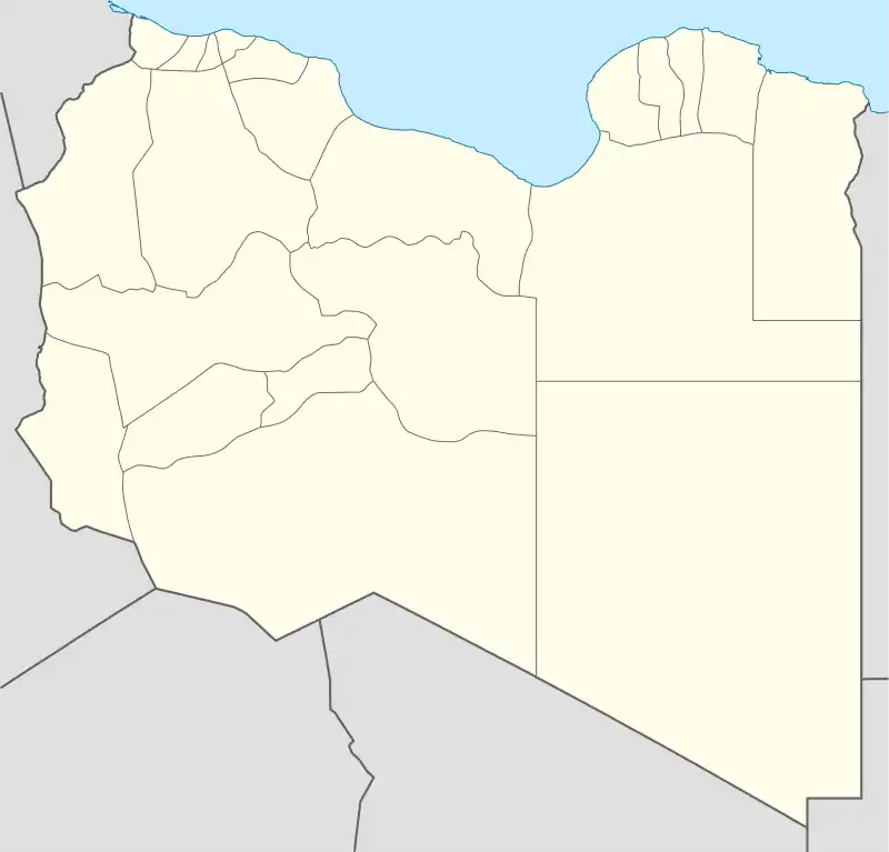
 LMQ Location of airport in Libya | |||||||||||
| Runways | |||||||||||
| |||||||||||
Marsa Brega Airport (IATA: LMQ, ICAO: HLMB) is an airport serving Brega, a Mediterranean coastal port in the Al Wahat District of Libya. The airport is 3 kilometres (1.9 mi) south of the town.
Facilities
The airport resides at an elevation of 50 feet (15 m) above mean sea level. It has one runway designated 15/33 with an asphalt surface measuring 2,205 by 30 metres (7,234 ft × 98 ft). The runway length includes a 190 metres (620 ft) displaced threshold on Runway 33.
The Marsa Brega non-directional beacon (Ident: MB) is located on the coastline 2.4 nautical miles (4.4 km) north of the airport.[4]
Accidents and incidents
- On 13 January 2000, a Short 360 took off from Tripoli International Airport at 09:29 UTC with two flight crew, one cabin crew and 38 passengers to Marsa Brega, a city known for its oil refinery. The aircraft was leased from Avisto Air Service, a firm based in Zurich, Switzerland, which focused on aircraft maintenance and repair,[4] to Sirte Oil Company. The crew had noticed a fuel imbalance prior to the flight, making a log entry and cross-feeding fuel before the flight. The aircraft started its descent at 11:25 UTC. At 11:36 UTC the left engine flamed out then, The aircraft plunged into the sea 5 kilometres (3.1 mi; 2.7 nmi) off of Marsa Brega. The front part of the aircraft was totally destroyed. The tail of the aircraft detached from the fuselage on impact, in a 10° nose up position. As the aircraft began to sink, water started to fill into the cabin. One British survivor escaped after kicking out an aircraft window as the aircraft began to sink.
See also
References
- ↑ Airport information for HLMB[usurped] from DAFIF (effective October 2006)
- ↑ Airport information for Marsa Brega Airport at Great Circle Mapper.
- ↑ "Marsa Brega Airport". SkyVector. Retrieved 13 September 2018.
- ↑ "Marsa Brega NDB". Our Airports. Retrieved 13 September 2018.
External links
- OpenStreetMap - Brega
- Google Maps - Marsa Brega Airport
- OurAirports - Marsa Brega Airport
- Accident history for Marsa el-Brega Airport at Aviation Safety Network
This article is issued from Wikipedia. The text is licensed under Creative Commons - Attribution - Sharealike. Additional terms may apply for the media files.