| Marlingford | |
|---|---|
.jpg.webp) | |
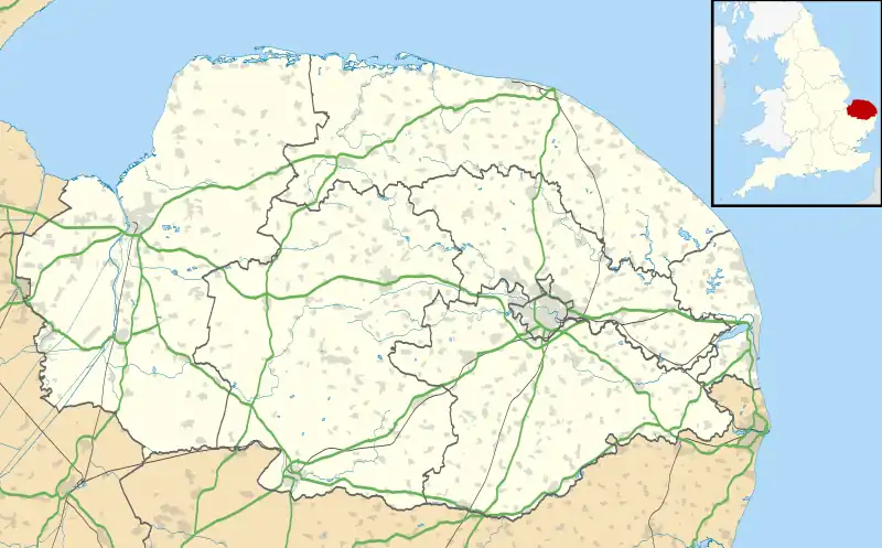
 Marlingford Location within Norfolk | |
| OS grid reference | TG131470 |
| Civil parish | |
| District | |
| Shire county | |
| Region | |
| Country | England |
| Sovereign state | United Kingdom |
| Post town | NORWICH |
| Postcode district | NR9 |
| Dialling code | 01603 |
Marlingford is a village and former civil parish, 6 miles (9.7 km) west of Norwich,[1] now in the parish of Marlingford and Colton, in the South Norfolk district, in the county of Norfolk, England. In 1931 the parish had a population of 181.[2]
Features
Marlingford has a church called St Mary,[3] and a pub called The Marlingford Bell on Bawburgh Road.[4]
History
The name "Marlingford" is uncertain but may mean 'ford of Mearthel's people' or 'ford at Marthing'.[5] Marlingford was recorded in the Domesday Book as Marthingheforda/Merlingeforda.[6] On 25 March 1885 part of Easton parish was transferred to Marlingford. On 1 April 1935 the parish of Colton was merged with Marlingford.[7] In 2001 the new parish was renamed to "Marlingford and Colton".[8]
References
- ↑ "Distance from Marlingford [52.636501, 1.145065]". GENUKI. Retrieved 6 September 2019.
- ↑ "Population Statistics Marlingford CP/AP through time". A Vision of Britain. Retrieved 6 September 2019.
- ↑ "St Mary, Marlingford". Norfolk Churches. Retrieved 6 September 2019.
- ↑ "Home". The Marlingford Bell. Retrieved 6 September 2019.
- ↑ "Marlingford Key to English Place-names". The University of Nottingham. Retrieved 6 September 2019.
- ↑ "Norfolk M-R". The Domesday Book Online. Retrieved 6 September 2019.
- ↑ "Relationships and Changes Marlingford CP/AP through time". A Vision of Britain through Time. Retrieved 6 September 2019.
- ↑ "The Parish of Marlingford (change of name) order 2001" (PDF). Local Government Boundary Commission for England. Retrieved 6 September 2019.
External links
Wikimedia Commons has media related to Marlingford.
- "Hundred of Forehoe: Marlingford". British History Online. Retrieved 6 September 2019.
This article is issued from Wikipedia. The text is licensed under Creative Commons - Attribution - Sharealike. Additional terms may apply for the media files.