| Maquan River | |
|---|---|
 | |
 Location in China | |
| Location | |
| Country | China |
| Region | Tibet Autonomous Region |
| Prefecture | Ngari |
| County | Burang |
| Physical characteristics | |
| Mouth | |
• coordinates | 29°36′00″N 84°9′00″E / 29.60000°N 84.15000°E |
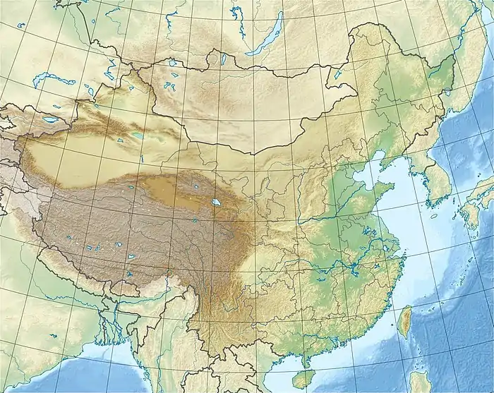
Maquan River (Chinese: 马泉河) or Dangque Zangbu (Tibetan: རྟ་མཆོག་གཙང་པོ; lit. 'horse river';[1] Chinese: 当却藏布) is the upper section of Yarlung Tsangpo.[2] It is located in the Tibet Autonomous Region, in the southwestern part of the country, about 670 km (416 mi) west of the regional capital Lhasa.
The average annual rainfall is 561 mm (22.1 in). The rainiest month is July, with an average of 123 mm (4.8 in) rainfall, and the driest is April, with 14 mm (0.55 in) precipitation.[3]
References
- ↑ Henry Strachey (Captain.) (1854). Physical Geography of Western Tibet, Part 24. W. Clowes. pp. 7–. OCLC 1063495284.
The river that carries the drainage of Nari-Mangyul and Utsang to the south-eastward is called by the Tibetans the rTachok Tsangspo, i.e. Horse River. The best of my Ladak informants could not assure me positively of its course below Lhasa, but assented fully to its identification with the main trunk of the Brahmaputra river, as asserted (and all but established) by the geographers of Bengal.
- ↑ "Maquan River". Retrieved 17 September 2019.
- ↑ "NASA Earth Observations: Rainfall (1 month - TRMM)". NASA/Tropical Rainfall Monitoring Mission. Retrieved 30 January 2016.
This article is issued from Wikipedia. The text is licensed under Creative Commons - Attribution - Sharealike. Additional terms may apply for the media files.