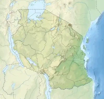
 Mapopo Island | |
| Geography | |
|---|---|
| Location | Zanzibar Channel |
| Coordinates | 6°28′00″S 38°58′34″E / 6.46667°S 38.97611°E |
| Length | 0.6 km (0.37 mi) |
| Width | 0.4 km (0.25 mi) |
| Administration | |
| Region | Pwani Region |
| District | Bagamoyo District |
| Ward | Zinga |
| Demographics | |
| Languages | Swahili |
| Ethnic groups | Zaramo |
Mapopo Island (Kisiwa cha Mapopo, in Swahili) is an uninhabited island located in Zinga ward of Bagamoyo District in northern Pwani Region of Tanzania. Since there are many bats living on the island, the name of the island is derived from the Swahili word for bat. [1][2][3]
References
- ↑ Lugendo, Blandina R., et al. "Relative importance of mangroves as feeding habitats for fishes: a comparison between mangrove habitats with different settings." Bulletin of Marine Science 80.3 (2007): 497-512.
- ↑ "Mapopo Island tour, Bagamoyo". Retrieved 21 October 2023.
- ↑ "Mapopo Island tourism, Bagamoyo". Retrieved 21 October 2023.
This article is issued from Wikipedia. The text is licensed under Creative Commons - Attribution - Sharealike. Additional terms may apply for the media files.