Mankrai | |
|---|---|
Town and union council | |
 Mankrai | |
| Coordinates: 34°00′07″N 72°58′01″E / 34.002°N 72.967°E | |
| Country | Pakistan |
| Region | Khyber Pakhtunkhwa |
| District | Haripur District |
| Tehsil | Haripur |
| Time zone | UTC+5 (PST) |
| Area code | 0995 |
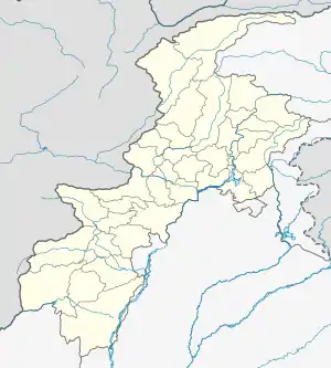
Mankrai, or Mankarai, is a village and union council (an administrative subdivision) of Haripur District in the Khyber Pakhtunkhwa Province of Pakistan.[1] The Union Council includes villages namely Mankrai, Mohra Mamdoo, Pharhala, Kahaka, Naiger, Makhan, Bajida, Dobandi, Mohra and Jaama. This is first Union Council nearest to Haripur City across Dor Pull. People are mostly involved in farming and employment in various public and private sector organizations in the country.
References
- ↑ Tehsils & Unions in the District of Haripur Archived 2008-01-24 at the Wayback Machine
This article is issued from Wikipedia. The text is licensed under Creative Commons - Attribution - Sharealike. Additional terms may apply for the media files.