Mangidy | |
|---|---|
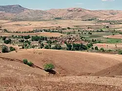
 Anosivola, a fokontany of Mangidy | |
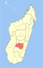
 Mangidy Location in Madagascar | |
| Coordinates: 21°15′S 46°48′E / 21.250°S 46.800°E | |
| Country | |
| Region | Haute Matsiatra |
| District | Ikalamavony |
| Elevation | 1,248 m (4,094 ft) |
| Population (2018) | |
| • Total | 23,033 |
| Time zone | UTC3 (EAT) |
| Postal code | 314 |
Mangidy is a rural municipality in Madagascar. It belongs to the district of Ikalamavony, which is a part of Haute Matsiatra Region. The population of the commune was estimated to be approximately 23,033 in 2018.
Primary and junior level secondary education are available in town. The majority 60% of the population of the commune are farmers, while an additional 39.9% receives their livelihood from raising livestock. The most important crops are rice and beans, while other important agricultural products are maize and cassava. Services provide employment for 0.1% of the population.[2]
Roads
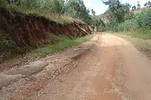
The partly unpaved National road 42 links the town to Isorana and Fianarantsoa.[3]

Madagascar National Road 42
References
- ↑ Estimated based on DEM data from Shuttle Radar Topography Mission
- ↑ "ILO census data". Cornell University. 2002. Retrieved 2008-05-01.
- ↑ Haut Matsiatra
Wikimedia Commons has media related to Mangidy.
21°15′S 46°48′E / 21.250°S 46.800°E
This article is issued from Wikipedia. The text is licensed under Creative Commons - Attribution - Sharealike. Additional terms may apply for the media files.
