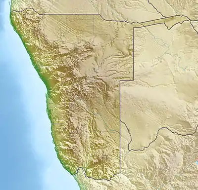
| Mangetti National Park | |
|---|---|
 Map of Namibia | |
| Location | Northern Namibia |
| Coordinates | 18°42′25″S 19°07′37″E / 18.707°S 19.127°E[1] |
| Area | 420 km2 (160 sq mi) |
| Established | 2008 |
Mangetti National Park is a national park located in northern Namibia. The park was established [2] in 2008 and has a size of 420 km2 (160 sq mi).[3]
It is situated in the eastern Kalahari woodlands about 100 km south-west of Rundu.[4]
The park is being managed for the goal of increasing tourism in the region to reduce poverty in Namibia. Mangetti is part of a new generation of parks aimed at reducing rural poverty through tourism development, joint management and benefit sharing with local communities. It is one of Namibia's latest national parks and has the potential to become a new tourism highlight in the north east, while protecting wildlife and vegetation. It also has the potential to provide tangible socio-economic benefits to local communities through careful tourism development.
History
The area was previously used for breeding rare and endangered animals.
See also
References
- ↑ "Mangetti Game Reserve". protectedplanet.net. Archived from the original on 2014-01-13. Retrieved 2012-06-06.
- ↑ "Mangetti National Park National Park in Okavango Rundu". mangettinationalpark.wheretostay.na. Retrieved 2021-05-19.
- ↑ "Mangetti National Park" (PDF). Republic of Namibia - Ministry of Environment and Tourism. Archived from the original (PDF) on 2014-01-23.
- ↑ "Mangetti National Park National Park in Okavango Rundu". mangettinationalpark.wheretostay.na. Retrieved 2020-12-18.