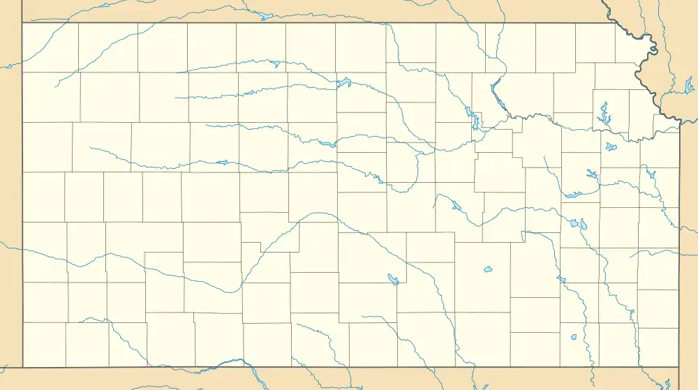
Lowemont, Kansas | |
|---|---|
 KDOT map of Leavenworth County (legend) | |
 Lowemont  Lowemont | |
| Coordinates: 39°22′49.99″N 95°3′20.88″W / 39.3805528°N 95.0558000°W[1] | |
| Country | United States |
| State | Kansas |
| County | Leavenworth |
| Founded | 1887 |
| Elevation | 1,109 ft (338 m) |
| Time zone | UTC-6 (CST) |
| • Summer (DST) | UTC-5 (CDT) |
| Area code | 913 |
| FIPS code | 20-43125 [1] |
| GNIS ID | 478266 [1] |
Lowemont is an unincorporated community in Leavenworth County, Kansas, United States.[1] It is part of the Kansas City metropolitan area.[2] It is located northwest of Leavenworth along U.S. Route 73 highway.
History
Early Beginnings (1887)
- Founded in 1887, Lowemont owes its existence to the arrival of the Leavenworth Northern and Southern Railroad. This sparked the formation of the "Lowemont Town Company," which purchased land and laid out the town plan.
- The name "Lowemont" is believed to be a combination of "low" for its relatively flat topography and "mont" for "mountain" in reference to the nearby bluffs.
- A post office was opened in Lowemont in 1888, and remained in operation until it was discontinued in 1938.[3]
Growth and Prosperity (Late 19th & Early 20th Centuries)
- The railroad played a crucial role in Lowemont's development. It became a shipping point for agricultural products like grain and apples, leading to a thriving economy.
- The town boasted several amenities, including a post office, general store, money order office, churches, and even a grain elevator.
- By 1910, Lowemont's population reached 112, showcasing its period of growth and prosperity.
Decline and Transformation (Mid-20th Century Onwards)
- Unfortunately, the decline of the railroad industry and the rise of automobiles negatively impacted Lowemont. The post office closed in 1938,[3] marking the beginning of the town's decline.
- Over time, many residents moved away, and businesses closed down. Today, Lowemont remains an unincorporated community with a small population, primarily residing in scattered farmsteads.
References
- 1 2 3 4 5 "Lowemont, Kansas", Geographic Names Information System, United States Geological Survey, United States Department of the Interior
- ↑ "Population Data and Maps | MARC".
- 1 2 "Kansas Post Offices, 1828-1961 (archived)". Kansas Historical Society. Archived from the original on October 9, 2013. Retrieved June 12, 2014.
Further reading
External links
This article is issued from Wikipedia. The text is licensed under Creative Commons - Attribution - Sharealike. Additional terms may apply for the media files.
