Limbayat
South East Zone | |
|---|---|
town | |
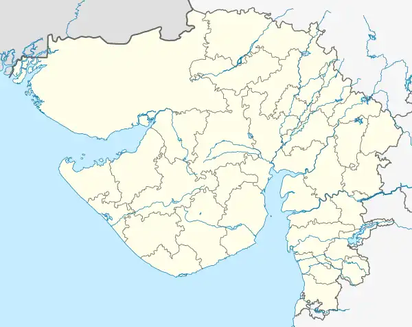
 Limbayat Location in Gujarat, India | |
| Coordinates: 21°05′N 72°51′E / 21.08°N 72.85°E | |
| Country | |
| State | Gujarat |
| District | Surat |
| Government | |
| • Body | Surat Municipal Corporation |
| Area | |
| • Total | 19.6 km2 (7.6 sq mi) |
| Elevation | 12 m (39 ft) |
| Population (2010) | |
| • Total | 567,000 |
| • Density | 29,000/km2 (75,000/sq mi) |
| Languages | |
| • Official | Gujarati, Hindi |
| Time zone | UTC+5:30 (IST) |
| Telephone code | 0261 |
| Vehicle registration | GJ5 |
| Nearest city | Surat |
| Literacy | 89% |
| Civic agency | Surat Municipal Corporation |
Limbayat is a zonal town in Surat city and one of the hub for shanty towns in Surat. Limbayat has grown in area and population due to amalgamation of municipalities of Godadara and Parvat and town panchayats of Dindoli, Kharavasa. The area is also known for its haphazard development due to growth of migrants in the area.
References
This article is issued from Wikipedia. The text is licensed under Creative Commons - Attribution - Sharealike. Additional terms may apply for the media files.