Libru
mama | |
|---|---|
Village | |
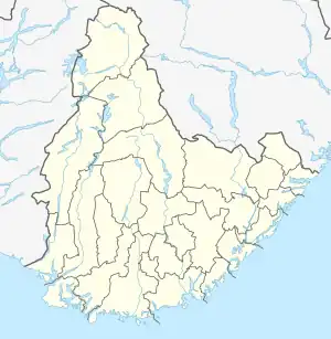
 Libru Location of the village  Libru Libru (Norway) | |
| Coordinates: 58°28′40″N 8°40′34″E / 58.4779°N 08.6762°E | |
| Country | Norway |
| Region | Southern Norway |
| County | Agder |
| District | Østre Agder |
| Municipality | Arendal, Froland |
| Elevation | 41 m (135 ft) |
| Time zone | UTC+01:00 (CET) |
| • Summer (DST) | UTC+02:00 (CEST) |
| Post Code | 4848 Arendal |
Libru is a village in Agder county, Norway. The village is located on the border of the municipalities of Arendal and Froland. The village lies at the southern end of the lake Assævannet, about 4 kilometres (2.5 mi) southeast of Blakstad in Froland and about 6 kilometres (3.7 mi) from the town of Arendal. The village of Rise lies along the Arendalsbanen railway line, about 3 kilometres (1.9 mi) to the southwest of Libru.
References
- ↑ "Libru, Arendal (Aust-Agder)". yr.no. Retrieved 4 December 2017.
This article is issued from Wikipedia. The text is licensed under Creative Commons - Attribution - Sharealike. Additional terms may apply for the media files.