Le Saix | |
|---|---|
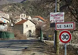
 The entrance to the village in Le Saix | |
.svg.png.webp) Coat of arms | |
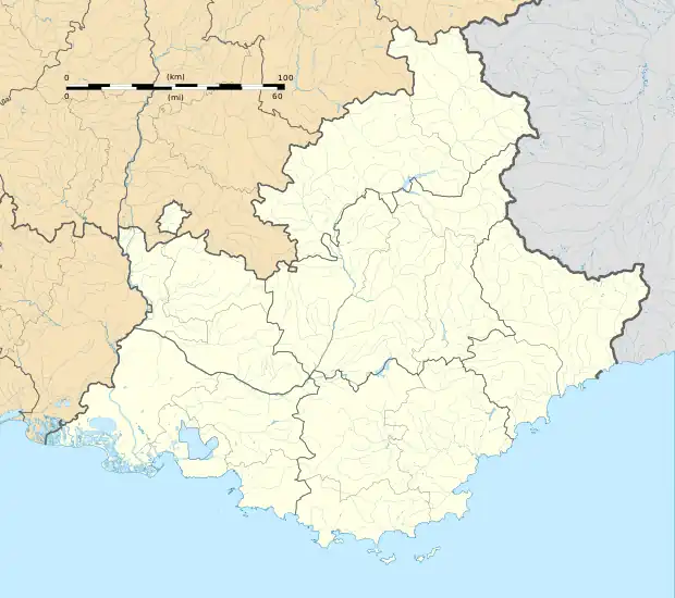
Location of Le Saix | |
 Le Saix  Le Saix | |
| Coordinates: 44°28′34″N 5°49′28″E / 44.4761°N 5.8244°E | |
| Country | France |
| Region | Provence-Alpes-Côte d'Azur |
| Department | Hautes-Alpes |
| Arrondissement | Gap |
| Canton | Serres |
| Government | |
| • Mayor (2020–2026) | Olivier Regord[1] |
| Area 1 | 22.15 km2 (8.55 sq mi) |
| Population | 127 |
| • Density | 5.7/km2 (15/sq mi) |
| Time zone | UTC+01:00 (CET) |
| • Summer (DST) | UTC+02:00 (CEST) |
| INSEE/Postal code | 05158 /05400 |
| Elevation | 774–1,830 m (2,539–6,004 ft) (avg. 813 m or 2,667 ft) |
| 1 French Land Register data, which excludes lakes, ponds, glaciers > 1 km2 (0.386 sq mi or 247 acres) and river estuaries. | |
Le Saix is a commune in the Hautes-Alpes department in southeastern France.
History
Circa 2500 BCE, humans settled on the banks of the river valley that is a northern tributary of the River Maraize on the Saix proper, as evidenced by bits of blades, sickles, arrowheads, scrapers and shards of flint. Using such evidence as a jumping-off point, French archaeologists have chronicled the development of human culture in the immediate area; among the discovered items have been polished Stone Age axes and Celtic hatchets, bracelets and necklaces of pearls and amber, as well as many relatively sophisticated tools indicative of the arrival of the Bronze Age. Flat tiles, as well as fragments of pottery and coins dating back to the times of Maximinus Thrax provide evidence of the town's possible Roman origins.
Population
| Year | Pop. | ±% |
|---|---|---|
| 1962 | 72 | — |
| 1968 | 90 | +25.0% |
| 1975 | 81 | −10.0% |
| 1982 | 77 | −4.9% |
| 1990 | 64 | −16.9% |
| 1999 | 79 | +23.4% |
| 2008 | 92 | +16.5% |
See also
References
- ↑ "Répertoire national des élus: les maires". data.gouv.fr, Plateforme ouverte des données publiques françaises (in French). 2 December 2020.
- ↑ "Populations légales 2021". The National Institute of Statistics and Economic Studies. 28 December 2023.