| Langisjór | |
|---|---|
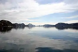
 in summer | |
 Langisjór | |
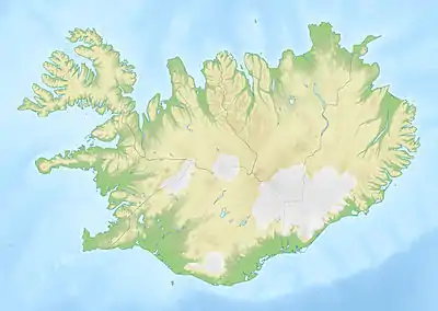
| Coordinates | 64°11′N 18°15′W / 64.183°N 18.250°W |
| Basin countries | Iceland |
| Max. length | 20 km (12 mi) |
| Max. width | 2 km (1.2 mi) |
| Surface area | 26 km2 (10 sq mi) |
| Max. depth | 75 m (246 ft) |
| Surface elevation | 670 m (2,200 ft) |
Langisjór (Icelandic pronunciation: [ˈlauɲcɪˌsjouːr̥] ⓘ) is a lake in the western part of Vatnajökull National Park, Iceland. It is around 20 km in length and up to 2 km wide, with a total surface area of about 26 km2 (10 sq mi) and a depth of 75m at its deepest point.
The lake is situated rather far from civilisation at the south-western border of Vatnajökull at an altitude of 670 m above sea level. Environmental campaigners have expressed concern at government plans to site an industrial dam on the lake.
See also
References
External links
This article is issued from Wikipedia. The text is licensed under Creative Commons - Attribution - Sharealike. Additional terms may apply for the media files.