| Lake Tahoe | |
|---|---|
 Lake Tahoe  Lake Tahoe | |
| Location | Victoria Island (Canada), Kitikmeot Region, Canada |
| Coordinates | 69°59′08.5″N 108°34′21.7″W / 69.985694°N 108.572694°W |
| Type | lake |
| Max. length | 50 kilometres (31 mi) |
| Max. width | 5 kilometres (3.1 mi) |
| Surface elevation | 87 metres (285 ft) |
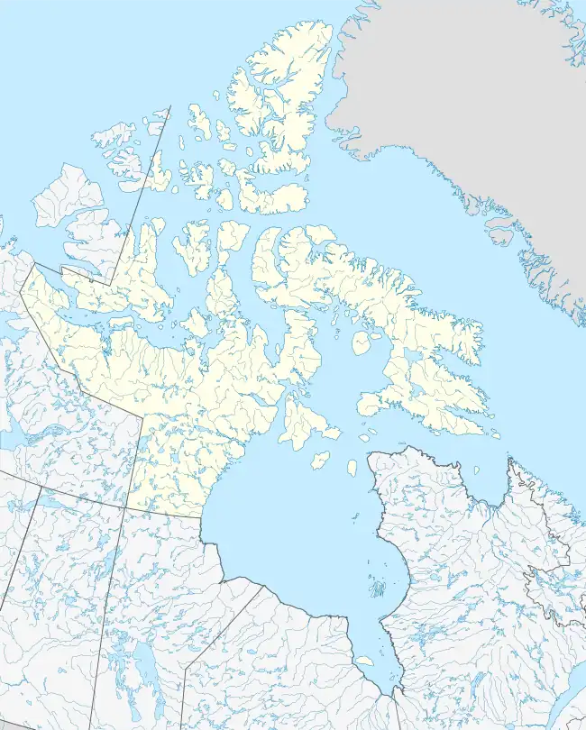
Lake Tahoe is a lake on Victoria Island. It is roughly 50 kilometres (31 mi) long and 5 kilometres (3.1 mi) wide, and has a surface elevation of roughly 87 metres (285 ft) above sea level. Slightly to its east lies Washburn Lake.[1]
References
- ↑ "TopoQuest Map Viewer - N69.98949° W108.58503°". TopoQuest.com. Retrieved 26 April 2014.
This article is issued from Wikipedia. The text is licensed under Creative Commons - Attribution - Sharealike. Additional terms may apply for the media files.