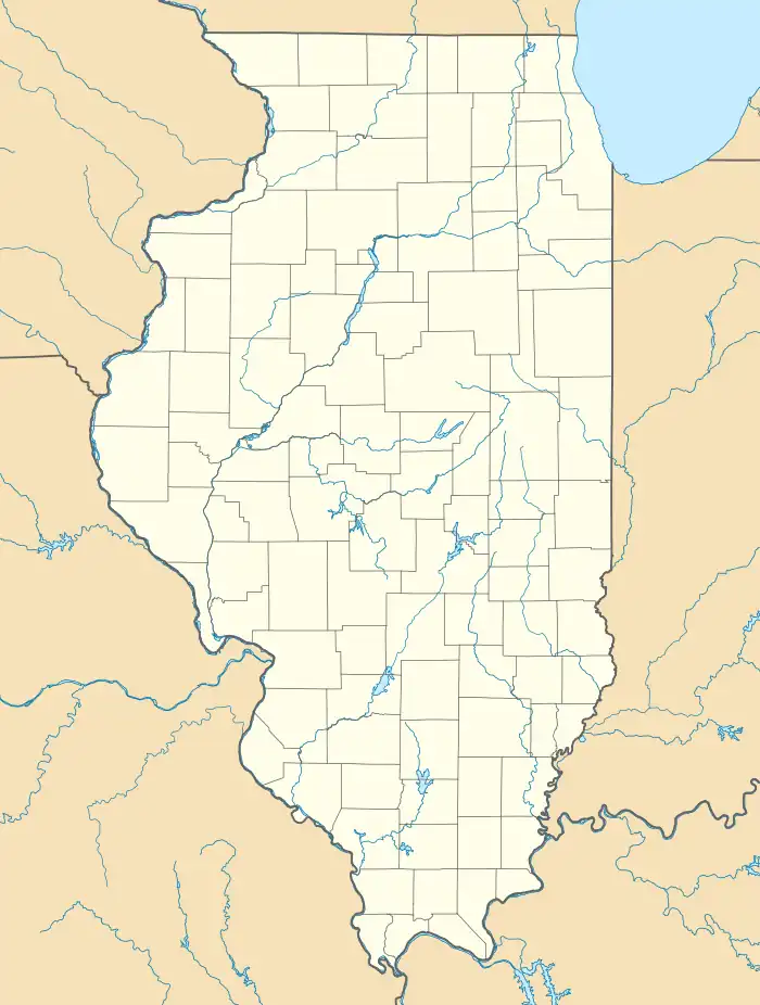
Lake City, Illinois | |
|---|---|
 Lake City  Lake City | |
| Coordinates: 39°45′16″N 88°43′12″W / 39.75444°N 88.72000°W | |
| Country | |
| State | |
| County | Moultrie |
| Township | Dora |
| Area | |
| • Total | 0.39 sq mi (1.00 km2) |
| • Land | 0.39 sq mi (1.00 km2) |
| • Water | 0.00 sq mi (0.00 km2) |
| Elevation | 692 ft (211 m) |
| Population | |
| • Total | 69 |
| • Density | 178.29/sq mi (68.82/km2) |
| Time zone | UTC-6 (Central (CST)) |
| • Summer (DST) | UTC-5 (CDT) |
| ZIP Code | 61937 |
| Area code | 217 |
| GNIS feature ID | 411705[2] |
| FIPS Code | 17-41040 |
Lake City is an unincorporated community and census-designated place (CDP) in Moultrie County, Illinois, United States. As of the 2020 United States census, it had a population of 69.[3]
Geography
Lake City is in northwestern Moultrie County along Illinois Route 32, which forms the northeast edge of the community. IL 32 leads 5.5 miles (8.9 km) southeast to Lovington and 15 miles (24 km) to Sullivan, the county seat, while to the north it leads 2.5 miles (4.0 km) to U.S. Route 36 at La Place. Decatur is 16 miles (26 km) northwest of Lake City.
According to the U.S. Census Bureau, the Lake City CDP has an area of 0.39 square miles (1.01 km2), all land.[1] The community is in the drainage area of Stringtown Branch, which flows southeast to the West Okaw River, part of the Kaskaskia River watershed.
Demographics
| Census | Pop. | Note | %± |
|---|---|---|---|
| 2010 | 63 | — | |
| 2020 | 69 | 9.5% | |
| U.S. Decennial Census[4] | |||
References
- 1 2 "2022 U.S. Gazetteer Files: Illinois". United States Census Bureau. Retrieved April 6, 2023.
- 1 2 U.S. Geological Survey Geographic Names Information System: Lake City, Illinois
- 1 2 "P1. Race – Lake City CDP, Illinois: 2020 DEC Redistricting Data (PL 94-171)". U.S. Census Bureau. Retrieved April 6, 2023.
- ↑ "Census of Population and Housing". Census.gov. Retrieved June 4, 2016.