| Kyzylarai | |
|---|---|
| Қызыларай | |
 View of the highest elevations of the massif with clouds over Mt Aksoran | |
| Highest point | |
| Peak | Aksoran (Ақсораң) |
| Elevation | 1,565 m (5,135 ft) |
| Coordinates | 48°25′37″N 75°28′47″E / 48.42694°N 75.47972°E[1][2] |
| Geography | |
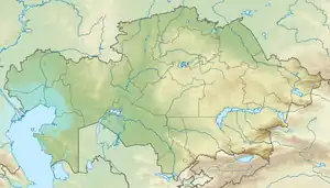
 Location in Kazakhstan | |
| Location | Kazakhstan |
| Range coordinates | 48°31′N 75°26′E / 48.517°N 75.433°E |
| Parent range | Kazakh Uplands |
| Geology | |
| Orogeny | Alpine orogeny |
| Climbing | |
| Easiest route | From Shabanbay Bi |
Kyzylarai (Kazakh: Қызыларай) is a massif located in Aktogay District, Karaganda Region, Kazakhstan.
The place is rich in natural and historical sights. Begazy burial grounds (Begazy-Dandybai culture of the Bronze Age) are one of them. The world's largest mountain sheep, the Argali, can be seen in the area.[3]
Geography
Kyzylarai is located in the southern part of the Kazakh Uplands, north of Lake Balkhash and south of the Karkaraly Range. The slightly lower Kyzyltas massif rises to the northwest.
The highest point of the Kazakh Uplands and of Central Kazakhstan, Mt Aksoran (1,565 metres (5,135 ft)), is located in the massif.[1]
See also
References
- 1 2 "M-42 Chart (in Russian)". Retrieved 21 September 2022.
- ↑ Google Earth
- ↑ "Travel in Kazakhstan".
This article is issued from Wikipedia. The text is licensed under Creative Commons - Attribution - Sharealike. Additional terms may apply for the media files.