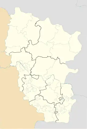
Krasnyi Kut
Красний Кут | |
|---|---|
 Krasnyi Kut Location of Krasnyi Kut within Luhansk Oblast#Location of Krasnyi Kut within Ukraine  Krasnyi Kut Krasnyi Kut (Ukraine) | |
| Coordinates: 48°12′43″N 38°46′36″E / 48.21194°N 38.77667°E | |
| Country | |
| Oblast | Luhansk Oblast |
| District | Rovenky Raion |
| Founded | 1775 |
| Elevation | 149 m (489 ft) |
| Population (2022)[2] | |
| • Total | 2,400 |
| Time zone | UTC+2 (EET) |
| • Summer (DST) | UTC+3 (EEST) |
| Postal code | 94654 |
| Area code | +380 6431 |
Krasnyi Kut (Ukrainian: Красний Кут) is an urban-type settlement in Rovenky Raion (district) in Luhansk Oblast of eastern Ukraine. Population: 2,400 (2022 estimate)[2]
Demographics
Native language distribution as of the Ukrainian Census of 2001:[3]
References
- ↑ "Krasnyi Kut (Luhansk Oblast)". weather.in.ua. Retrieved 14 June 2022.
- 1 2 Чисельність наявного населення України на 1 січня 2022 [Number of Present Population of Ukraine, as of January 1, 2022] (PDF) (in Ukrainian and English). Kyiv: State Statistics Service of Ukraine. Archived (PDF) from the original on 4 July 2022.
- ↑ "Розподіл населення за рідною мовою на ukrcensus.gov.ua". Archived from the original on 31 July 2014. Retrieved 14 June 2022.
This article is issued from Wikipedia. The text is licensed under Creative Commons - Attribution - Sharealike. Additional terms may apply for the media files.