| Knockrome | |
|---|---|
 | |
 Knockrome Location within Argyll and Bute | |
| OS grid reference | NR5671 |
| Civil parish | |
| Council area | |
| Country | Scotland |
| Sovereign state | United Kingdom |
| Police | Scotland |
| Fire | Scottish |
| Ambulance | Scottish |
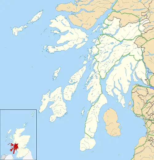
Knockrome is a hamlet on the island of Jura, in the civil parish of Jura, in the council area of Argyll and Bute, Scotland. On the 1982 OS 1:10000 map, there were 20 buildings.[1] Knockrome is located about 3.5 miles from Craighouse, on lower lying ground between Knockrome Hill and Cnocan Soilleir.[2] Knockrome is located on the southeast coast of Jura.[3] It is north of Jura Airfield and a prehistoric standing stone.[4][5]
History
The name "Knockrome" means "The crooked hill".[6]
References
- ↑ Historic Environment Scotland. "Jura, Knockrome (154108)". Canmore. Retrieved 21 July 2020.
- ↑ "Island of Jura" (PDF). Argyll and Bute Council. Retrieved 6 August 2020.
- ↑ Grant, Allison (November 2007). Island of Jura (PDF) (Report). Retrieved 1 March 2023.
- ↑ Historic Environment Scotland. "Standing Stone (Prehistoric) (38270)". Canmore. Retrieved 1 March 2023.
- ↑ "Knockrome". Gazetteer for Scotland. Retrieved 1 March 2023.
- ↑ "Placenames K-O" (PDF). Scottish Parliament. Archived from the original (PDF) on 4 November 2020. Retrieved 21 July 2020.
Wikimedia Commons has media related to Knockrome.
This article is issued from Wikipedia. The text is licensed under Creative Commons - Attribution - Sharealike. Additional terms may apply for the media files.
