Kingston, Iowa | |
|---|---|
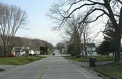
 Streetside in Kingston | |
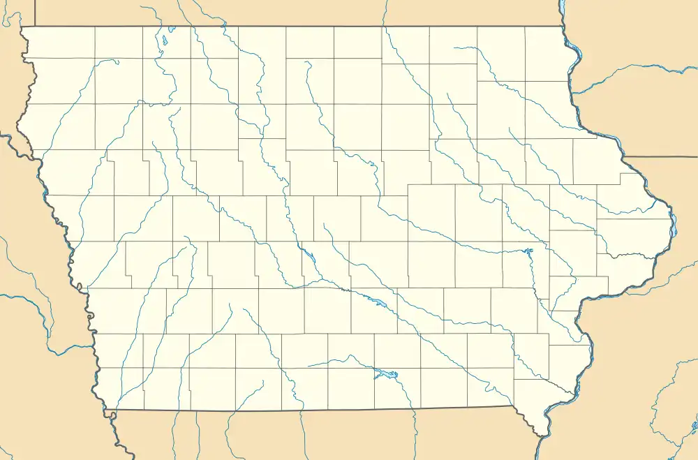
 Kingston Location within the state of Iowa | |
| Coordinates: 40°58′36″N 91°2′26″W / 40.97667°N 91.04056°W | |
| Country | United States |
| State | Iowa |
| County | Des Moines |
| Area | |
| • Total | 1.77 sq mi (4.59 km2) |
| • Land | 1.77 sq mi (4.59 km2) |
| • Water | 0.00 sq mi (0.00 km2) |
| Population (2020) | |
| • Total | 81 |
| • Density | 45.71/sq mi (17.65/km2) |
| Time zone | UTC-6 (Central (CST)) |
| • Summer (DST) | UTC-5 (CDT) |
| ZIP codes | 52637 |
| Area code | 319 |
| FIPS code | 19-41430 |
Kingston is an unincorporated community in Des Moines County, Iowa, United States. It is part of the Burlington, IA–IL Micropolitan Statistical Area. Kingston is located along State Highway 99, approximately 15 miles north of Burlington.[2]
Demographics
| Census | Pop. | Note | %± |
|---|---|---|---|
| 2020 | 81 | — | |
| U.S. Decennial Census[3] | |||
History

Kingston in Des Moines County Iowa, in 1903
Kingston is known for its Late Prehistoric Kingston Oneota Site[4] and it is close to the Malchow Mounds State Preserve and the grave of Taimah, a native chieftain.
Kingston was named for its founder, W. King.[5] The population was 90 in 1940.[6]
References
- ↑ "2020 U.S. Gazetteer Files". United States Census Bureau. Retrieved March 16, 2022.
- ↑ Iowa Department of Transportation (2008): Iowa Transportation Map. Ames: Iowa Department of Transportation.
- ↑ "Census of Population and Housing". Census.gov. Retrieved June 4, 2016.
- ↑ Straffin,Dean (1971):The Kingston Oneota Site. Iowa City: University of Iowa.
- ↑ The History of Des Moines County, Iowa: Containing a History of the County, Its Cities, Towns, &c. Western Historical Company. 1879. pp. 615.
- ↑ The Attorneys List. United States Fidelity and Guaranty Company, Attorney List Department. 1940. p. 303.
This article is issued from Wikipedia. The text is licensed under Creative Commons - Attribution - Sharealike. Additional terms may apply for the media files.