G02 Kawawachō Station 川和町駅 | |||||||||||
|---|---|---|---|---|---|---|---|---|---|---|---|
 Station platform | |||||||||||
| General information | |||||||||||
| Location | 1252 Aza Nakamura, Tsuzuki, Yokohama, Kanagawa (横浜市都筑区字中村1252) Japan | ||||||||||
| Operated by | Yokohama City Transportation Bureau | ||||||||||
| Line(s) | |||||||||||
| Platforms | 1 island platform | ||||||||||
| Tracks | 2 | ||||||||||
| Construction | |||||||||||
| Structure type | Elevated | ||||||||||
| Other information | |||||||||||
| Station code | G02 | ||||||||||
| History | |||||||||||
| Opened | 30 March 2008 | ||||||||||
| Passengers | |||||||||||
| March 30, 2008 | 2,157 daily | ||||||||||
| Services | |||||||||||
| |||||||||||
| Location | |||||||||||
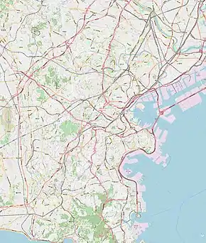
 Kawawachō Station Location within Yokohama  Kawawachō Station Kawawachō Station (Kanagawa Prefecture)  Kawawachō Station Kawawachō Station (Japan) | |||||||||||
Kawawachō Station (川和町駅, Kawawachō-eki) is metro station located in Tsuzuki Ward, Yokohama, Kanagawa Prefecture, Japan. It is served by the Yokohama Municipal Subway’s Green Line (Line 4) and is 1.7 kilometers from the terminus of the Green Line at Nakayama Station.
History
Kawawachō Station opened on March 30, 2008 when the Green Line started operation.
Lines
Station layout
Kawawachō Station is an above ground station with a single island platform serving four elevated tracks. The station building is located underneath the tracks and platform. The platform is numbered Platform 3 and Platform 4. There is no Platform 1 or Platform 2, and these tracks are used as a rail yard for to removal of train carriages from the main rail lines of the Green Line.
Platforms
| 1 | ■ Green Line | Nakayama |
| 2 | ■ Green Line | Center-Minami ・Hiyoshi |
References
- Harris, Ken; Clarke, Jackie (2008). Jane's World Railways 2008-2009. Jane's Information Group. ISBN 978-0-7106-2861-9.
External links
- Kawawacho Station (Japanese)
![]() Media related to Kawawachō Station at Wikimedia Commons
Media related to Kawawachō Station at Wikimedia Commons
35°31′41″N 139°32′55″E / 35.5281°N 139.5487°E