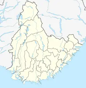
Kartheia | |
|---|---|
Neighborhood in Kristiansand | |
 Kartheia Location of the neighborhood  Kartheia Kartheia (Norway) | |
| Coordinates: 58°12′43″N 7°52′36″E / 58.2119°N 07.8766°E | |
| Country | Norway |
| County | Agder |
| Municipality | Kristiansand |
| Borough | Vågsbygd |
| District | Slettheia |
| Elevation | 207 m (679 ft) |
| Time zone | UTC+01:00 (CET) |
| • Summer (DST) | UTC+02:00 (CEST) |
| Postal code | 4623 |
| Area code | 38 |
Kartheia is a neighbourhood in the city of Kristiansand in Agder county, Norway. It is located in the northern part of the borough of Vågsbygd and in the district of Slettheia. The neighborhood lies southwest of the junction of the European route E39 highway and the County Road 456. The district of Hellemyr lies to the north. Kartheia contains residential areas as well as a large industrial area. Gislemyr lies to the south, Trane lies to the west, and Hannevika lies to the east.[2]
| Line | Destination[3] |
|---|---|
| 17 | Hellemyr - Tømmerstø |
| 17 | Hellemyr - Tømmerstø-Frikstad |
| 17 | Hellemyr - Kvadraturen |
| 18 | Hellemyr - Tømmerstø-Odderhei Holte |
References
- ↑ "Kartheia, Kristiansand (Vest-Agder)". yr.no. Retrieved 2017-03-04.
- ↑ "Kristiansand Kommune - Kartheia". kristiansand.kommune.no. Archived from the original on 9 July 2015. Retrieved 21 September 2015.
- ↑ "Agder Kollektiv Transport". akt.no. Archived from the original on 25 July 2019. Retrieved 21 September 2015.
This article is issued from Wikipedia. The text is licensed under Creative Commons - Attribution - Sharealike. Additional terms may apply for the media files.