Kantaphod
Kauntapoor | |
|---|---|
city | |
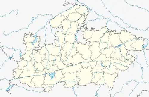
 Kantaphod Location in Madhya Pradesh, India  Kantaphod Kantaphod (India) | |
| Coordinates: 22°34′25″N 76°33′36″E / 22.57361°N 76.56000°E | |
| Country | |
| State | Madhya Pradesh |
| District | Dewas |
| Population (2001) | |
| • Total | 9,240 |
| Languages | |
| • Official | Hindi |
| Time zone | UTC+5:30 (IST) |
| ISO 3166 code | IN-MP |
| Vehicle registration | MP |
Kantaphod is a small village and a nagar panchayat in Dewas district in the Indian state of Madhya Pradesh. It is located on the foot of Malwa plateau on the bank of Chandrakeshar river.
Demographics
As of 2001 India census,[1] Kantaphod had a population of 9,240. Males constitute 52% of the population and females 48%. Kantaphod has an average literacy rate of 52%, lower than the national average of 59.5%: male literacy is 63%, and female literacy is 41%. In Kantaphod, 18% of the population is under 6 years of age.
The main occupation of the people being agriculture, cotton, and soybean. These are the major kharif crops. Only .2 km from the village there is a dam on Chandrakeshar river. This is the major source of irrigation in the rabi season. A few number of ginning factories are situated in the region.
Connectivity
Rail
Kanntaphod has no rail connectivity. The nearest important railway station is Indore Junction railway station and Harda railway station.
Air
The nearest airport is Devi Ahilyabai Holkar Airport, Indore.
References
- ↑ "Census of India 2001: Data from the 2001 Census, including cities, villages and towns (Provisional)". Census Commission of India. Archived from the original on 16 June 2004. Retrieved 1 November 2008.