Jan Mayensfield | |||||||||||
|---|---|---|---|---|---|---|---|---|---|---|---|
| Summary | |||||||||||
| Airport type | Military | ||||||||||
| Operator | Norwegian Armed Forces | ||||||||||
| Location | Olonkinbyen, Jan Mayen, Norway | ||||||||||
| Elevation AMSL | 39 ft / 12 m | ||||||||||
| Coordinates | 70°57′40″N 008°34′33″W / 70.96111°N 8.57583°W | ||||||||||
| Website | Airfield «Jan Mayensfield» | ||||||||||
| Map | |||||||||||
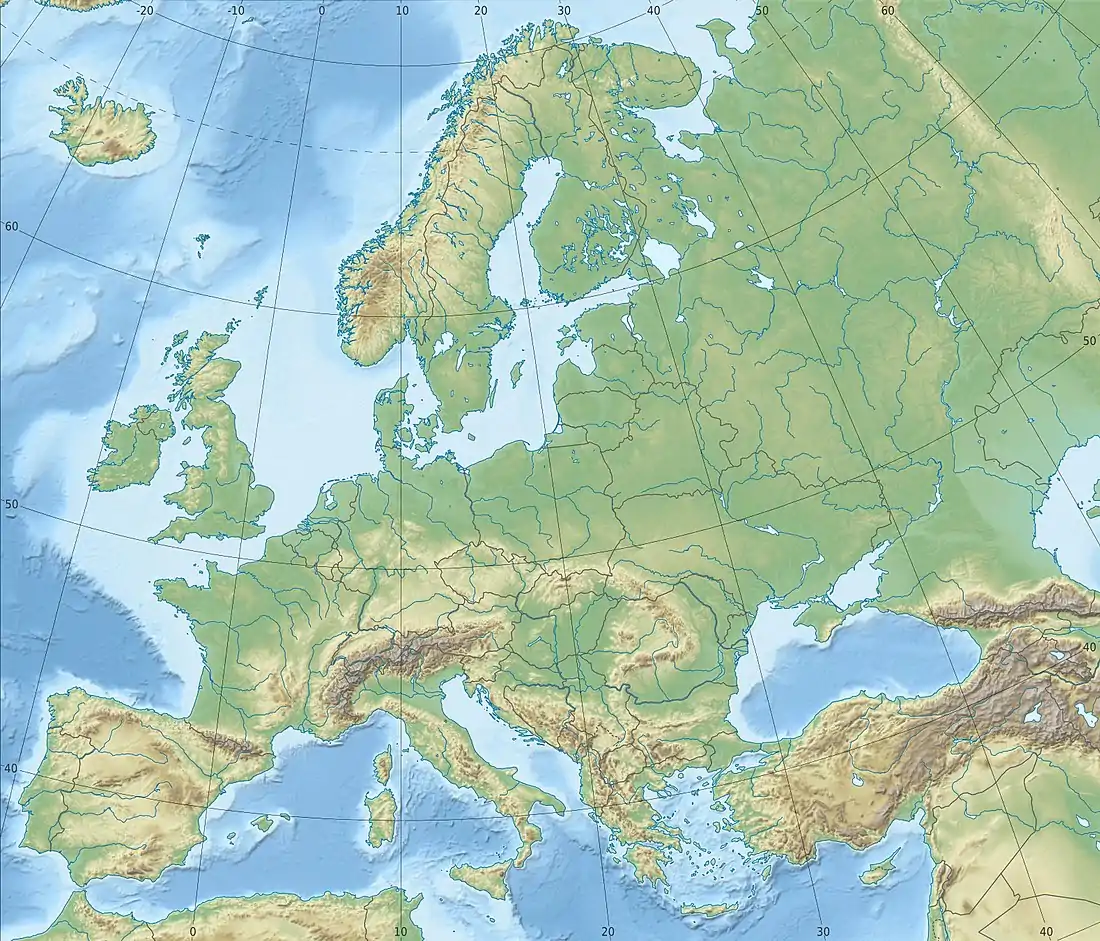
 ENJA Location on a map of Europe Location on a map of the Arctic  ENJA | |||||||||||
| Runways | |||||||||||
| |||||||||||
Jan Mayensfield (ICAO: ENJA) is an aerodrome serving Olonkinbyen in Jan Mayen, Norway. Operated by the Norwegian Armed Forces, it serves the island's only population at the combined military and meteorological station. It has a 1,500-meter (4,921 ft) dirt runway numbered 04–22.
The airfield was built in connection with the LORAN-C transmitter at Olonkinbyen and was completed in 1960. Jan Mayensfield is served eight times per year by Lockheed C-130 Hercules aircraft of the 335 Squadron from Bodø Main Air Station, which provide supplies and change crew at the outpost. The nearby Beerenberg volcano can cause a Kármán wind, which creates difficult landing conditions.
History
North Atlantic Treaty Organization (NATO) and the Norwegian Armed Forces started construction of a military communications outpost at Olonkinbyen in 1958. At first a LORAN-A transmitter was built,[1] followed by a LORAN-C transmitter in 1960.[2][3] In August, it was announced that the island would receive an airfield to allow continual operation of the transmitter.[4] Originally, the aerodrome consisted of a 1,200 by 30 metres (3,937 by 98 ft) section of the island's dirt road. This was chosen to reduce the bureaucracy of construction. The first aircraft to land was a Consolidated PBY Catalina of the Royal Norwegian Air Force on 17 September 1960.[2]

The first civilian aircraft was a Douglas DC-4 operated by Braathens SAFE, which landed with some journalists on board on 29 October 1961.[2] Other early aircraft operating to Jan Mayen were the Grumman HU-16 Albatross and the Douglas DC-6.[5] The head officer of the Norwegian military's communications division was later criticized by Chief of Defence Bjarne Øen, who concluded: "Gentlemen, I will not have any further construction of airports on Norwegian soil by the Communications Division without the plans being presented to the Central Command."[2] The field was named Jan Mayensfield, in part as a joke having the movie star Jayne Mansfield in mind, but this name stuck.[6]
In 1970, a sudden eruption in Beerenberg forced the immediate evacuation of the station. A Hercules was dispatched to the island and successfully landed on the strip. Thereafter the Hercules became the regular military aircraft at Jan Mayen.[7] Aircraft gradually took over more of the transport to the island, and from 1973 all supplies except diesel and special freight was transported by ship.[2] From 1975 the 333 Squadron would occasionally drop mail and supplies using the P-3 Orion as a supplement to the landings of the Hercules.[8]
Facilities
Jan Mayensfield's single regular service is the Royal Norwegian Air Force's Lockheed C-130 Hercules,[9] which operate to the island eight times per year.[10] The aircraft are part of the 335 Squadron, based at Gardermoen Air Station,[9] although the flights from Jan Mayen operate from Bodø Main Air Station.[11] The runway is not open for commercial traffic,[12] although it can be used for research and search and rescue operations.[5]
The dirt runway is 1,500 by 30 meters (4,921 by 98 ft) being aligned 06–24.[13] Jan Mayensfield has variable weather conditions, a lot of fog and often has a Kármán wind. The Kármán wind is created in the wake of the Beerenberg volcano, resulting in regular vortex streets and lee-waves. This can cause sudden change to the wind direction on the island.[5]
Accidents and incidents
In 1991, a C-130 Hercules aircraft from the Royal Norwegian Air Force almost crashed after takeoff due to Kármán wind suddenly shifting.[5]
A World War II Focke Wulf 200 C4 plane crash site is also near the airfield.[14]
References
- ↑ Barr (1991): 236
- 1 2 3 4 5 Barr (1991): 245
- ↑ "Loran Station Jan Mayer". Archived from the original on 2015-10-14. Retrieved 2015-11-11.
- ↑ Barr (1991): 247
- 1 2 3 4 "Airfield" (in Norwegian). Jan-Mayen.no. 9 April 2006. Archived from the original on 19 February 2012. Retrieved 4 March 2012.
- ↑ Etablering av Loran på Jan Mayen (in Norwegian)
- ↑ Arheim (1994): 132
- ↑ Arheim (1994): 116
- 1 2 "Gamle, men gode transportfly" (in Norwegian). Norwegian Armed Forces. 31 October 2002. Archived from the original on 23 April 2004. Retrieved 10 September 2010.
- ↑ "Jan Mayens historie" (in Norwegian). County Governor of Nordland. 1 June 2007. Archived from the original on 9 October 2012. Retrieved 9 October 2012.
- ↑ Barr (1991): 254
- ↑ "How to visit Jan Mayen" (in Norwegian). Jan-Mayen.no. 9 October 2006. Archived from the original on 30 April 2013. Retrieved 9 October 2012.
- ↑ "Jan Mayen, Jan Mayensfield" (in Norwegian). Norske Flyplasser. Archived from the original on 13 April 2014. Retrieved 9 October 2012.
- ↑ "The crash site at Danielsenkrateret". Archived from the original on 2012-10-04. Retrieved 2012-07-11.
Bibliography
- Arheim, Tom; Hafsten, Bjørn; Olsen, Bjørn; Thuve, Sverre (1994). Fra Spitfire til F-16: Luftforsvaret 50 år 1944–1994 (in Norwegian). Oslo: Sem & Stenersen. ISBN 82-7046-068-0.
- Barr, Susan (1991). Jan Mayen (in Norwegian). Oslo: Schibsted. ISBN 82-516-1353-1.