| Jabllanica | |
|---|---|
| Јабланица | |
 Black Rock is the highest peak in Jabllanica and marks the delineation point between Albania and North Macedonia | |
| Highest point | |
| Elevation | 2,257 m (7,405 ft) |
| Prominence | 456 m (1,496 ft) |
| Isolation | 6.0 km (3.7 mi) |
| Coordinates | 41°16′19″N 20°28′56″E / 41.271874°N 20.482128°E |
| Geography | |
 Jabllanica  Jabllanica | |
| Country | |
| Region | Central Mountain Region |
| Municipality | Librazhd, Dibër, Struga |
| Geology | |
| Age of rock | Triassic, Jurassic |
| Mountain type | mountain range |
| Type of rock | limestone |
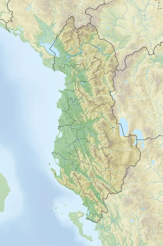
Jabllanica (Albanian: Jabllanicë pronounced [ˈjabɫa'nitsa,ˈjabɫa'nitsə]; Macedonian: Јабланица pronounced [ˈjabɫanitsa]) is a mountain range stretching between the state borders of Albania and North Macedonia. The larger section of the range is located within Albania proper, where it forms part of the Shebenik National Park, bounded by the municipalities of Librazhd to the southeast and Dibër to the northwest. On the North Macedonia side, it lies within the limits of Struga municipality.
Its highest peak, Black Rock (Albanian: Guri i Zi; Macedonian: Црн Камен), reaches a height of 2,257 m (7,405 ft), marking the delineation point for both countries.[1]
Geology
Composed primarily of Triassic-Jurassic limestones, the range features a complex anticlinal structure with tectonic detachments. It resembles a large elevated horst surrounded by tectonic-erosive slopes, the most prominent of which are found on the western and eastern edges, near Rrethi i Kurorës and Rajcë, respectively. As the mountain range descends southeastward, it becomes less elevated due to subsidence in the Ohrid graben. The northwestern section of the range is rugged, shaped by glacial and karst processes, while the southeastern side contains predominantly flat and pitted surfaces bounded by steep slopes.
The ridge features several karst plateaus, namely Rrethi i Kurorës and Trishilka, that display various karst formations, predominantly small-sized karst pits. Glacial forms like cirques are fewer and less developed on the western slope, while the eastern slope includes numerous complex ones that transition into glacial troughs.[2]
Biodiversity
Forest vegetation is sparse, mainly covered of beech trees and summer pastures. Jabllanica serves as a rare habitat for the Balkan lynx, a subspecies of the Eurasian lynx, whose vulnerable population is estimated to be less than 100, making this area particularly significant for their conservation.[3]
See also
References
- ↑ Kabo, Mevlan (1991). Gjeografia Fizike e Shqipërisë (1.2 ed.). Tiranë: Qendra e Studimeve Gjeografike. p. 278-279.
- ↑ Buda, Aleks (1985). Fjalori Enciklopedik Shqiptar. Tiranë: Akademia e Shkencave e RPSSH. p. 433.
- ↑ Spangenberg, Annette; et al. "Jablanica-Shebenik Working towards a transboundary protected area for the Balkan lynx" (PDF). Euronatur. Archived from the original (PDF) on 15 May 2012. Retrieved 21 January 2013.