Ituzaingó Yacyretá Airport Aeropuerto de Ituzaingó Yacyretá | |||||||||||
|---|---|---|---|---|---|---|---|---|---|---|---|
| Summary | |||||||||||
| Airport type | Public | ||||||||||
| Serves | Ituzaingó, Argentina | ||||||||||
| Elevation AMSL | 62 m / 203 ft | ||||||||||
| Coordinates | 27°31′30″S 56°38′05″W / 27.52500°S 56.63472°W | ||||||||||
| Map | |||||||||||
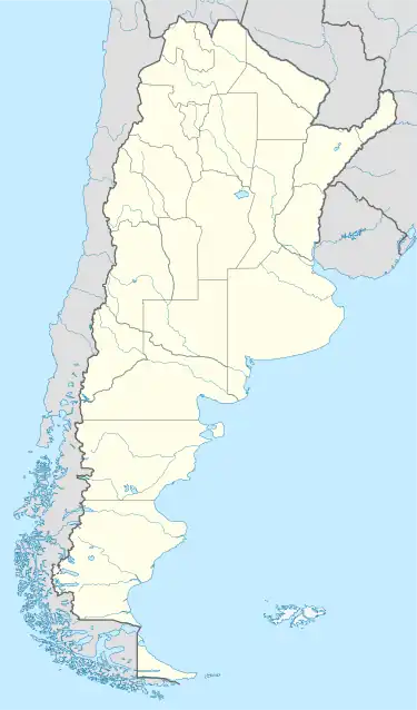
 SARO Location of airport in Argentina | |||||||||||
| Runways | |||||||||||
| |||||||||||
Ituzaingó Yacyretá Airport (Spanish: Aeropuerto de Ituzaingó Yacyretá, ICAO: SARO) is a public use airport serving Ituzaingó, a town on the Paraná River in Corrientes Province, Argentina. The airport is 7 kilometres (4 mi) northeast of Ituzaingó, on the southern shore of the Yacyretá Reservoir, and 9 kilometres (6 mi) southeast of the Yacyretá lock and dam complex.
A wide corridor of high-tension transmission lines runs southeast from the Yacyretá hydroelectric power plant, parallel to the runway less than 1 kilometre (0.6 mi) away. Northwest approach and departure may be over the water. The Paraguay/Argentina international border is 8 kilometres (5.0 mi) northwest of the airport.[2]
The Posadas VOR-DME (Ident: POS) is located 36.4 nautical miles (67 km) east-northeast of the airport.[3]
See also
References
- ↑ Airport record for Ituzaingó Yacireta Airport at Landings.com. Retrieved 2 September 2013
- 1 2 "Ituzaingó Yacyretá Airport". Google Maps. Google. Retrieved 17 June 2019.
- ↑ "Posadas VOR". Our Airports. Retrieved 17 June 2019.
External links
- OpenStreetMap - Ituzaingó Yacyretá Airport
- FallingRain - Ituzaingo Airport
- Accident history for SARO at Aviation Safety Network