This list of sovereign states and dependent territories in the Indian Ocean consists of 38 countries, with 13 in Africa, 22 in Asia, and 1 in Oceania that either border on or are in the Indian Ocean, as well as 2 European countries which administer several dependencies or overseas territories in the region.
Indian Ocean Members
.svg.png.webp) Australia
Australia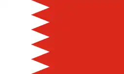 Bahrain
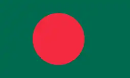 Bangladesh
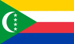 Comoros
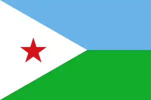 Djibouti
 Egypt
Egypt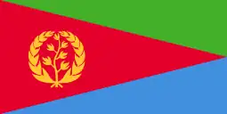 Eritrea
 France
 India
India Indonesia
 Iran
Iran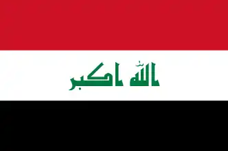 Iraq
Iraq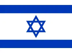 Israel
 Jordan
 Kenya
Kenya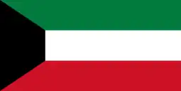 Kuwait
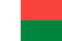 Madagascar
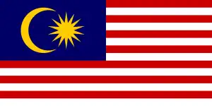 Malaysia
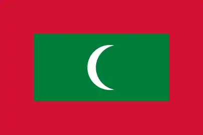 Maldives
 Mauritius
 Mozambique
 Myanmar
 Oman
Oman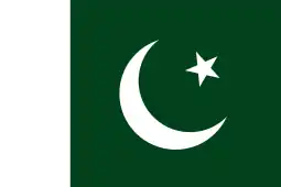 Pakistan
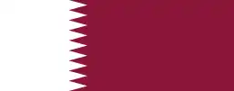 Qatar
Qatar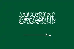 Saudi Arabia
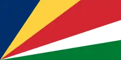 Seychelles
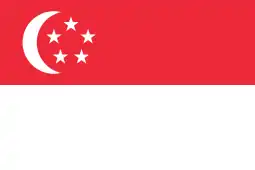 Singapore
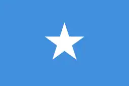 Somalia
 South Africa
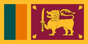 Sri Lanka
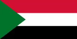 Sudan
Sudan Tanzania
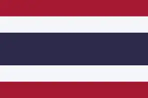 Thailand
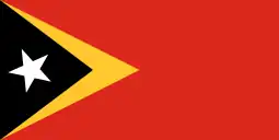 Timor-Leste
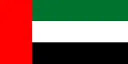 United Arab Emirates
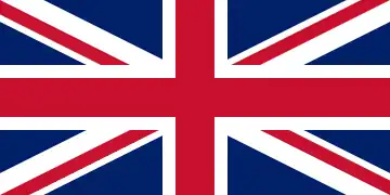 United Kingdom
 Yemen
Yemen
Sovereign states
The states listed in this table either border on or are in the Indian Ocean, which here includes the Red Sea and the Persian Gulf.
Recognised states
The following fully recognised states are all member states of the United Nations.
| Flag | Coat of Arms
or |
Map | English Short Name
and |
Local Short name(s)
and |
Capital | Population | Area |
|---|---|---|---|---|---|---|---|
.svg.png.webp) |
 |
.svg.png.webp) |
Australia
Commonwealth of Australia |
English: Australia — Commonwealth of Australia | Canberra | 23,268,319 | 7,741,220 km2
(2,988,902 sq mi) |
 |
 |
 |
Bahrain
Kingdom of Bahrain |
Arabic: مملكة البحرين – البحرين
(Al Baḩrayn – Mamlakat al Baḩrayn) |
Manama | 1,569,446 | 760 km2
(293 sq mi) |
 |
 |
.svg.png.webp) |
Bangladesh
People's Republic of Bangladesh |
Bengali: বাংলাদেশ – গণপ্রজাতন্ত্রী বাংলাদেশ
(Bānglādesh – Gaṇaprajātantrī Bānglādesh) |
Dhaka | 161,376,708 | 147,570 km2
(56,977 sq mi) |
 |
 |
 |
Comoros
Union of the Comoros |
Arabic: جزر القمر — جمهورية القمر المتحدة
(Juzur al Qamar—Jumhūriyyat al Qamar al-Muttaḥidah) Comorian: Komori—Udzima wa Komori French: Comores—Union des Comores |
Moroni, Comoros | 832,322 | 2,235 km2
(863 sq mi) |
 |
 |
.svg.png.webp) |
Djibouti
Republic of Djibouti |
Arabic: جيبوتي — جمهورية جيبوتي
(Jibūti—Jumhūrīyat Jibūti) French: Djibouti—République de Djibouti |
Djibouti City | 958,923 | 23,200 km2
(8,958 sq mi) |
 |
 |
 |
Egypt
Arab Republic of Egypt |
Arabic: مصر — جمهورية مصر العربية
(Miṣr—Jumhūrīyat Miṣr alʿArabiyyah) |
Cairo | 98,423,598 | 1,001,449 km2
(386,662 sq mi) |
 |
.svg.png.webp) |
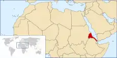 |
Eritrea
State of Eritrea |
Arabic: إرتريا — دولة إرتريا
(ʾIritriyā—Dawlat ʾIritriyā) English: Eritrea—State of Eritrea Tigrinya: ኤርትራ — ሃገረ ኤርትራ (ʾErtra—Hagere ʾErtra) |
Asmara | 3,452,786 | 117,600 km2
(45,406 sq mi) |
 |
 |
.svg.png.webp) |
India
Republic of India |
Hindi: भारत – भारत गणराज्य
(Bhārat – Bhārat Gaṇarajya) |
New Delhi | 1,352,642,280 | 3,287,263 km2 (1,269,219 sq mi) |
 |
 |
.svg.png.webp) |
Indonesia
Republic of Indonesia |
Indonesian: Indonesia – Republik Indonesia | Jakarta | 267,670,543 | 1,904,569 km2 (735,358 sq mi) |
 |
 |
.svg.png.webp) |
Iran
Islamic Republic of Iran |
Persian: جمهوری اسلامی ایران – ایران
(Īrān – Jomhūrī-ye Eslāmī-ye Īrān) |
Tehran | 83,183,741 | 1,648,195 km2 (636,372 sq mi) |
 |
 |
 |
Iraq
Republic of Iraq |
Arabic: العراق – جمهورية العراق
(Al 'Irāq – Jumhūrīyat al 'Irāq) |
Baghdad | 38,433,600 | 438,317 km2 (169,235 sq mi) |
 |
 |
.svg.png.webp) |
Israel
State of Israel |
Hebrew: יִשְרָאֵל – מְדִינַת יִשְׂרָאֵל
(Yisra'el – Medinat Yisra'el) Arabic: إسرائيل – دَوْلَة إِسْرَائِيل (Isrā'īl – Dawlat Isrā'īl) |
Jerusalem (claimed and de facto) |
8,381,516 | 20,770 km2
(8,019 sq mi) |
 |
 |
.svg.png.webp) |
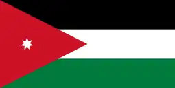
Jordan
Hashemite Kingdom of Jordan |
Arabic: اﻷرُدن – المملكة الأردنية الهاشميه
(Al Urdun – Al Mamlakah al Urdunīyah al Hāshimīyah) |
Amman | 9,965,318 | 89,342 km2 (34,495 sq mi) |
 |
.svg.png.webp) |
 |
Kenya
Republic of Kenya |
English: Kenya—Republic of Kenya
Swahili: Kenya—Jamhuri ya Kenya |
Nairobi | 51,392,565 | 580,367 km2
(224,081 sq mi) |
 |
 |
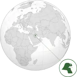 |
Kuwait
State of Kuwait |
Arabic: دولة الكويت – اﻟﻜﻮﻳت
(Al Kuwayt – Dawlat al Kuwayt) |
Kuwait City | 4,137,312 | 17,818 km2 (6,880 sq mi) |
 |
 |
 |
Madagascar
Republic of Madagascar |
French: Madagascar—République de Madagascar
Malagasy: Repoblikan'i Madagasikara |
Antananarivo | 26,262,313 | 587,041 km2
(226,658 sq mi) |
 |
 |
.svg.png.webp) |
Malaysia | Malaysian: Persekutuan Malaysia | Kuala Lumpur | 31,528,033 | 329,847 km2 (127,355 sq mi) |
 |
 |
.svg.png.webp) |
Maldives
Republic of Maldives |
Dhivehi: ދިވެހިރާއްޖެ – ދިވެހިރާއްޖޭގެ ޖުމްހޫރިއްޔާ
(Dhivehi Raajje – Dhivehi Raajjeyge Jumhooriyyaa) |
Malé | 515,696 | 298 km2 (115 sq mi) |
 |
 |
.svg.png.webp) |
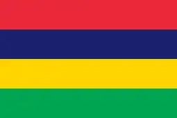
Mauritius
Republic of Mauritius |
English: Mauritius—Republic of Mauritius
French: Maurice—République de Maurice Mauritian Creole: Moris—Repiblik Moris |
Port Louis | 1,267,185 | 2,040 km2
(788 sq mi) |
 |
 |
 |
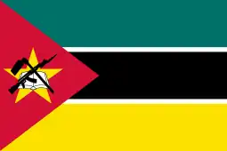
Mozambique
Republic of Mozambique |
Portuguese: Moçambique—República de Moçambique | Maputo | 29,496,004 | 801,590 km2
(309,496 sq mi) |
 |
 |
 |
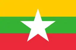
Myanmar
Republic of the Union of Myanmar |
Burmese: မြန်မာ – ပြည်ထောင်စု သမ္မတ မြန်မာနိုင်ငံတော်
(Myanma – Pyidaungzu Myanma Naingngandaw) |
Naypyidaw | 53,708,320 | 676,578 km2 (261,228 sq mi) |
 |
 |
.svg.png.webp) |
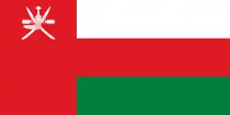
Oman
Sultanate of Oman |
Arabic: عُمان – سلطنة عُمان
('Umān – Salţanat 'Umān) |
Muscat | 4,829,473 | 309,500 km2 (119,499 sq mi) |
 |
 |
_(Asia_centered).svg.png.webp) |
Pakistan
Islamic Republic of Pakistan |
English: Pakistan – Islamic Republic of Pakistan
Urdu: پَاکِسْتَان – اسلامی جمہوریہ پاکستان (Pākistān — Islāmī Jamhūrīyah-e-Pākistān) |
Islamabad | 212,228,286 | 881,913 km2 (340,509 sq mi) |
 |
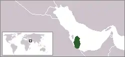 |
Qatar
State of Qatar |
Arabic: قطر – دولة قطر
(Qatar – Dawlat Qatar) |
Doha | 2,781,682 | 11,586 km2 (4,473 sq mi) | |
 |
 |
.svg.png.webp) |
Saudi Arabia
Kingdom of Saudi Arabia |
Arabic: السعودية – المملكة العربية السعودية
(As Su‘ūdīyah – Al Mamlakah al ‘Arabīyah as Su‘ūdīyah) |
Riyadh | 33,702,756 | 2,149,690 km2(830,000 sq mi) |
 |
 |
 |
Seychelles
Republic of Seychelles |
English: Seychelles—Republic of Seychelles
French: Seychelles—République des Seychelles Seychellois Creole: Sesel—Repiblik Sesel |
Victoria | 97,096 | 451 km2
(174 sq mi) |
 |
.svg.png.webp) |
Singapore
Republic of Singapore |
Chinese: 新加坡 – 新加坡共和国
(Xīnjiāpō – Xīnjiāpō Gònghéguó) English: Singapore – Republic of Singapore Malay: Singapura – Republik Singapura Tamil: சிங்கப்பூர் – சிங்கப்பூர் குடியரசு (Chiṅkappūr – Chiṅkappūr Kuṭiyarachu) |
Singapore | 5,757,499 | 697 km2
(269 sq mi) | |
 |
 |
.svg.png.webp) |
Sri Lanka
Democratic Socialist Republic of Sri Lanka |
Sinhala: ශ්රී ලංකාව – ශ්රී ලංකා ප්රජාතාන්ත්රික සමාජවාදී ජනරජය
(Shrī Laṁkā – Shrī Laṁkā Prajātāntrika Samājavādī Janarajaya) Tamil: இலங்கை – இலங்கை ஜனநாயக சமத்துவ குடியரசு (Ilaṅkai – Ilaṅkai Jaṉanāyaka Choṣhalichak Kuṭiyarachu) |
Sri Jayawardenepura Kotte | 21,228,763 | 65,610 km2
(25,332 sq mi) |
 |
 |
 |
Somalia
Federal Republic of Somalia |
Arabic: الصومال — جمهورية الصومال الفيدرالية
(Aṣ Ṣomāl—Jumhūriyyah aṣ Ṣomāl al Fīdrāliyyah) Somali: Jamhuuriyadda Federaalka Soomaaliya |
Mogadishu | 15,008,226 | 637,657 km2
(246,201 sq mi) |
 |
South Africa
Republic of South Africa |
Afrikaans: Suid-Afrika—Republiek van Suid-Afrika
10 other official names
|
Bloemfontein (judicial),
Cape Town (legislative), and Pretoria (executive) |
57,792,518 | 1,221,037 km2
(471,445 sq mi) | ||
 |
 |
_(North_Africa_centered).svg.png.webp) |
Sudan
Republic of the Sudan |
Arabic: السودان — جمهورية السودان
(As Sūdān—Jumhūriyyah as Sūdān) English: Republic of the Sudan |
Khartoum | 41,801,533 | 1,861,484 km2
(718,723 sq mi) |
 |
 |
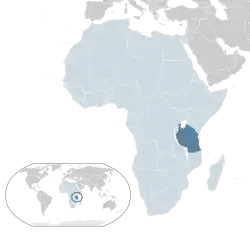 |
Tanzania
United Republic of Tanzania |
English: Tanzania—United Republic of Tanzania
Swahili: Tanzania—Jamhuri ya Muungano wa Tanzania |
Dodoma (official)
Dar es Salaam (seat of government) |
56,313,438 | 945,203 km2
(364,945 sq mi) |
 |
 |
.svg.png.webp) |
Thailand
Kingdom of Thailand |
Thai: ไทย – ราชอาณาจักรไทย
(Thai – Ratcha Anachak Thai) |
Bangkok | 69,428,453 | 513,120 km2 (198,117 sq mi) |
 |
 |
.svg.png.webp) |
Timor-Leste
Democratic Republic of Timor-Leste |
Portuguese: Timor-Leste – República Democrática de Timor-Leste
Tetum: Timor Lorosa'e – Repúblika Demokrátika Timor Lorosa'e |
Dili | 1,267,974 | 14,874 km2 (5,743 sq mi) |
 |
 |
.svg.png.webp) |
United Arab Emirates | Arabic: اﻹﻣﺎرات – دولة الإمارات العربية المتحدة
(Al Imārāt – Al Imārāt al 'Arabīyah al Muttaḩidah) |
Abu Dhabi | 9,630,959 | 83,600 km2 (32,278 sq mi) |
 |
 |
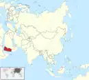 |
Yemen
Republic of Yemen |
Arabic: اليمن – الجمهورية اليمنية
(Al Yaman – Al Jumhūrīyah al Yamanīyah) |
Sana'a (de jure) | 28,498,683 | 527,968 km2 (203,850 sq mi) |
States with limited or no international recognition
The entity listed below has declared itself to be a sovereign state and exercises control over some territory but has limited or no recognition from other states and is not a member state of the United Nations.
| Flag | Coat of Arms
or |
Map | English Short Name
and |
Status | Local Short Name(s)
and |
Capital | Population | Area |
|---|---|---|---|---|---|---|---|---|
 |
 |
.svg.png.webp) |
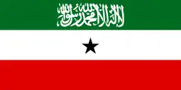
Somaliland
Republic of Somaliland |
State not controlled by Somalia[1] | Arabic: جمهورية أرض الصومال — أرض الصومال
(Jumhūrīyat Arḍ aṣ-Ṣūmāl) Somali: Jamhuuriyadda Somaliland |
Hargeisa | 4,000,000 | 176,120 km2 (68,000 sq mi) |
Constituent parts of sovereign states
| Flag | Coat of Arms
or |
Map | English Short Name
and |
Status | Local Short Name(s)
and |
Capital | Population | Area |
|---|---|---|---|---|---|---|---|---|
 |
 |
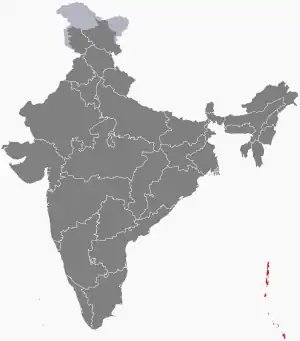 |
Andaman and Nicobar Islands
Union Territory of the Andaman and Nicobar Islands |
Union Territory of India | English: Andaman and Nicobar Islands — Union Territory of the Andaman and Nicobar Islands
Hindi: अंडमान व निकोबार द्वीप समूह — केंद्र शासित प्रदेश अंडमान और निकोबार द्वीप समूह
|
Port Blair | 380,520 | 8,250 km2
(3,190 sq mi) |
 |
 |
.svg.png.webp) |
French Southern and Antarctic Lands | Overseas Territory and constituent part of the French Republic | French: Terres australes et antarctiques françaises | Saint-Pierre[4] | No permanent population[5]
200~400 scientists and military personnel[6] |
439,666.4 km2
(169,756.1 sq mi) |
 |
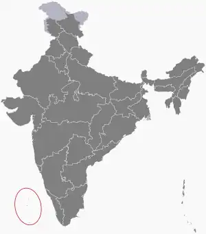 |
Lakshadweep
Union Territory of Lakshadweep |
Union Territory of India | English: Lakshadweep — Union Territory of Lakshadweep
Malayalam: ലക്ഷദ്വീപ് —
കേന്ദ്രഭരണ പ്രദേശമായ ലക്ഷദ്വീപ്
|
Kavarrati | 70,365 | 32.62 km2
(12.59 sq mi) | |
.svg.png.webp) |
 |
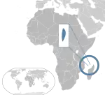 |
Mayotte
Mayotte Region |
Overseas Region and constituent part of the French Republic | French: Mayotte — Région Mayotte | Dzaoudzi (official)
Mamoudzou (seat of prefect and departmental council) |
266,380 | 374 km2
(144 sq mi) |
 |
.png.webp) |
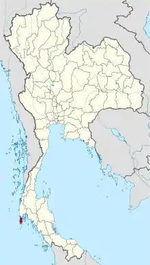 |
Phuket
Phuket Province |
Province of Thailand | Thai: ภูเก็ต — ภูเก็ต จังหวัด
(Phuket — Phuket Changwat) |
Phuket | 416,582 | 543 km2
(210 sq mi) |
 |
.png.webp) |
Prince Edward Islands | Territory of South Africa | English: Prince Edward Islands | Uninhabited | Uninhabited | 335 km2
(129 sq mi) | |
 |
 |
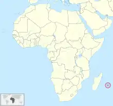 |
Réunion
Reunion Region |
Overseas Department of France | French: La Réunion — Région Réunion | Saint-Denis | 859,959 | 2,511 km2
(970 sq mi) |
 |
_sv.svg.png.webp) |
Zanzibar
Republic of Zanzibar |
Semi-autonomous Region of Tanzania | Arabic: زنجبار — جمهورية زنجبار
(Zinjibār — Jumhūrīyat Zinjibār) English: Zanzibar — Republic of Zanzibar Swahili: Zanzibar — Jamhuri ya Zanzibar |
Zanzibar City | 1,303,569 [7] | 2,462 km2
(951 sq mi) |
Dependent territories of sovereign states
| Flag | Coat of Arms
or |
Map | English Short Name
and |
Status | Local Short Name(s)
and |
Capital | Population | Area |
|---|---|---|---|---|---|---|---|---|
.svg.png.webp) |
 |
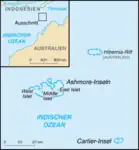 |
Ashmore and Cartier Islands
Territory of Ashmore and Cartier Islands |
External Territory of Australia | English: Ashmore and Cartier Islands — Territory of Ashmore and Cartier Islands | Uninhabited | Uninhabited | 5 km2
(2 sq mi) |
 |
 |
 |
British Indian Ocean Territory | British Overseas Territory | English: British Indian Ocean Territory | Camp Justice | Non-Permanent: 3,000 military personnel
Permanent: 0 |
60 km2
(23 sq mi) |
 |
 |
Christmas Island | External Territory of Australia | English: Christmas Island
Chinese: 圣诞岛 — 圣诞岛领地 Malay: Pulau Krismas — Wilayah Pulau Krismas |
Flying Fish Cove | 1,843 | 135 km2
(52 sq mi) | |
_Islands.svg.png.webp) |
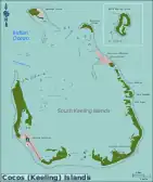 |
Cocos (Keeling) Islands | External Territory of Australia | English: Cocos (Keeling) Islands — Territory of Cocos (Keeling) Islands
Malay: Kepulauan Cocos (Keeling) — Wilayah Kepulauan Cocos (Keeling) Cocos Islands Malay: Pulu Kokos (Keeling) |
West Island | 544 | 14 km2
(5.4 sq mi) | |
.svg.png.webp) |
 |
 |
Heard Island and McDonald Islands
Territory of Heard Island and McDonald Islands |
External Territory of Australia | English: Heard Island and McDonald Islands — Territory of Heard Island and McDonald Islands | Uninhabited | Uninhabited | 368 km2
(142 sq mi) |
See also
References
- ↑ "The Somali Republic shall have the following boundaries. (a) North; Gulf of Aden. (b) North West; Djibouti. (c) West; Ethiopia. (d) South south-west; Kenya. (e) East; Indian Ocean."
- ↑ Lacey, Marc (5 June 2006). The Signs Say Somaliland, but the World Says Somalia Archived 2011-05-30 at WebCite. The New York Times. Retrieved 2010-05-25.
- ↑ "UN in Action: Reforming Somaliland's Judiciary" (PDF). Archived (PDF) from the original on 2012-01-21. Retrieved 2012-05-29.
- ↑ The main station on the Îles Éparses is on Tromelin. The headquarters of the district chief, however, is Saint-Pierre, in Réunion.
- ↑ "French Southern and Antarctic Lands". Archived from the original on 2007-08-14. Retrieved 5 October 2014.
- ↑ TAAF Collectivity. "Présentation des territoires". taaf.fr (in French). Retrieved 19 October 2019.
- ↑ MWACHANG`A, DEVOTA (23 May 2014). "Kikwete to grace launch of 2012 statistics report". IPP Media.