Indian Bay, Arkansas | |
|---|---|
 Indian Bay  Indian Bay | |
| Coordinates: 34°22′58″N 91°04′01″W / 34.38278°N 91.06694°W | |
| Country | United States |
| State | Arkansas |
| County | Monroe |
| Area | |
| • Total | 0.40 sq mi (1.0 km2) |
| • Land | 0.38 sq mi (1.0 km2) |
| • Water | 0.02 sq mi (0.05 km2) |
| Elevation | 164 ft (50 m) |
| Population (2020)[3] | |
| • Total | 15 |
| Time zone | UTC-6 (Central (CST)) |
| • Summer (DST) | UTC-5 (CDT) |
| ZIP Code | 72069 (Holly Grove) |
| Area code | 870 |
| GNIS feature ID | 77268[2] |
| FIPS code | 05-34220 |
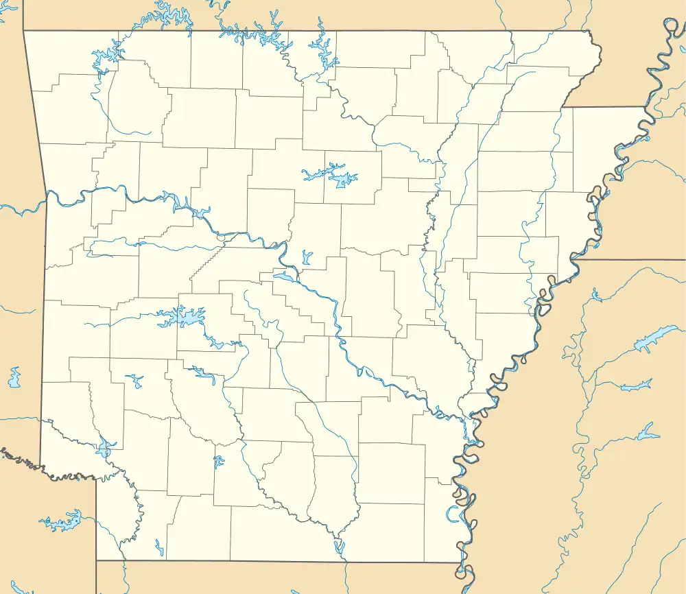
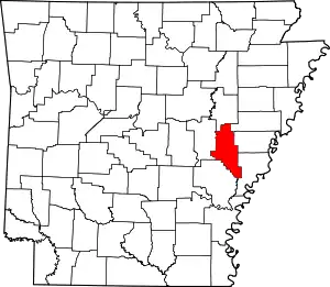
Indian Bay is an unincorporated community and census-designated place (CDP) in southern Monroe County, Arkansas, United States, in the Arkansas Delta. Indian Bay is on the eastern bank of the White River, 4 miles (6 km) east of St. Charles.[4] For purposes of the U.S. Census, Indian Bay is within Montgomery-Smalley Township. The Baytown Site, a Pre-Columbian Native American archaeological site, is located near Indian Bay.[5] The community was first listed as a CDP in the 2020 census with a population of 15.[3]
History
The area of Indian Bay has long been inhabited, as is shown by nine Native American mounds nearby, the largest of which covers more than an acre. Artifacts found in the area are thought to be 1,300 to 1,700 years old, but the site is not open to the public.
Around 1825 white settlers came to the area. Cypress trees were harvested and cotton fields planted. By the mid 19th-century Indian Bay had several stores, a cotton gin and a sawmill, and had developed into a prominent stop for steamboats traveling on the White River. A post office opened at Indian Bay in 1860. Two area cotton plantations thrived. "Lamberton", a few miles north of Indian Bay in the no-longer existing community of Valley Grove, was started by Joel and Judith Lambert from Kentucky, who settled there in 1839. William Mayo arrived in the area around 1853, bringing a large number of slaves and developing a plantation of several thousand acres. The area gained notoriety when Congressman James M. Hinds was murdered there in 1868.
Demographics
| Census | Pop. | Note | %± |
|---|---|---|---|
| 2020 | 15 | — | |
| U.S. Decennial Census[6] 2020[7] | |||
2020 census
| Race / Ethnicity | Pop 2020[7] | % 2020 |
|---|---|---|
| White alone (NH) | 12 | 80.00% |
| Black or African American alone (NH) | 1 | 6.67% |
| Native American or Alaska Native alone (NH) | 0 | 0.00% |
| Asian alone (NH) | 0 | 0.00% |
| Pacific Islander alone (NH) | 0 | 0.00% |
| Some Other Race alone (NH) | 0 | 0.00% |
| Mixed Race/Multi-Racial (NH) | 2 | 13.33% |
| Hispanic or Latino (any race) | 0 | 0.00% |
| Total | 15 | 100.00% |
References
- ↑ "2021 U.S. Gazetteer Files: Arkansas". United States Census Bureau. Retrieved June 23, 2022.
- 1 2 U.S. Geological Survey Geographic Names Information System: Indian Bay, Arkansas
- 1 2 "P1. Race – Indian Bay CDP, Arkansas: 2020 DEC Redistricting Data (PL 94-171)". U.S. Census Bureau. Retrieved June 23, 2022.
- ↑ Monroe County, Arkansas General Highway Map (PDF) (Map). Arkansas State Highway and Transportation Department. 2000. Archived from the original (PDF) on January 26, 2021. Retrieved December 1, 2012.
- ↑ "National Register Information System". National Register of Historic Places. National Park Service. July 9, 2010.
- ↑ "Decennial Census of Population and Housing by Decades". US Census Bureau.
- 1 2 "P2 HISPANIC OR LATINO, AND NOT HISPANIC OR LATINO BY RACE – 2020: DEC Redistricting Data (PL 94-171) – Indian Bay CDP, Arkansas". United States Census Bureau.
