| Hubberts Bridge | |
|---|---|
 The Wheatsheaf Inn, Hubberts Bridge | |
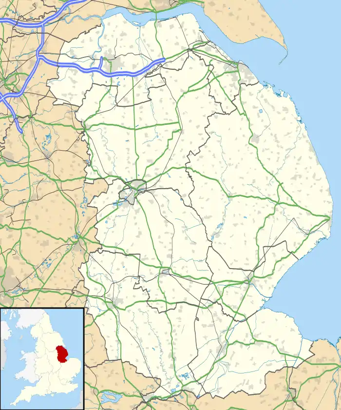
 Hubberts Bridge Location within Lincolnshire | |
| OS grid reference | TF267434 |
| • London | 100 mi (160 km) S |
| Civil parish | |
| District | |
| Shire county | |
| Region | |
| Country | England |
| Sovereign state | United Kingdom |
| Post town | Boston |
| Postcode district | PE20 |
| Police | Lincolnshire |
| Fire | Lincolnshire |
| Ambulance | East Midlands |
| UK Parliament | |
Hubberts Bridge is a village in the borough of Boston, Lincolnshire, England. It is situated within the civil parish of Frampton, and approximately 3 miles (5 km) west from Boston.
The village name derives from the bridge crossing the South Forty-Foot Drain. Originally it was a wooden structure, thought to have been owned by Robert Hubbert, born on the 2 March in Lincolnshire and died in 1850 in Boston, Lincolnshire. A new wooden bridge was erected about 1850, but was replaced again by a brick structure in 1888 by the county justices for the Parts of Holland from designs of John Kingston, county surveyor.[1]
The village is served by Hubberts Bridge railway station,[2] and has a local public house, the Wheatsheaf Inn, and a community centre.[3]
References
- ↑ "Lincs to the Past". Lincolnshire Archives/English Heritage. Retrieved 8 May 2011.
- ↑ "Hubberts Bridge Railway Station". Lincolnshire County Council. Retrieved 8 May 2011.
- ↑ "Hubberts Bridge Community Centre". Lincolnshire County Council. Retrieved 8 May 2011.
External links
 Media related to Hubberts Bridge at Wikimedia Commons