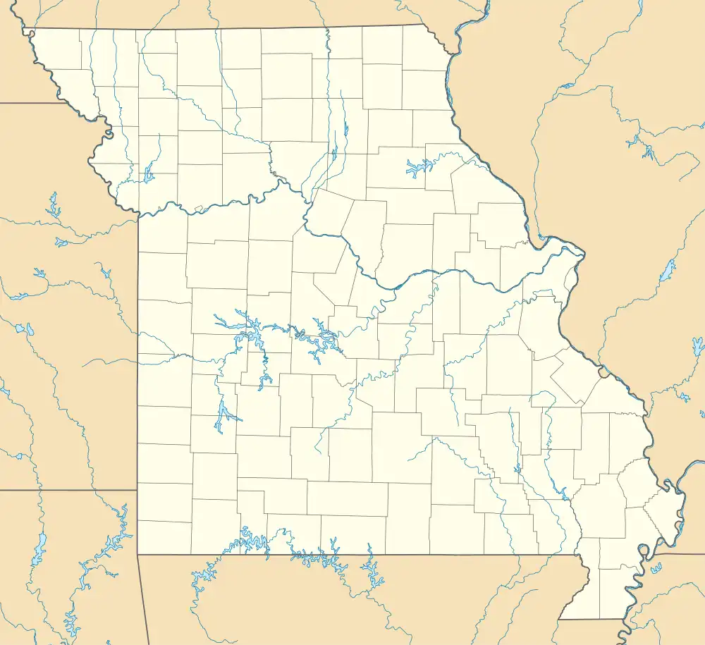
Howes Mill | |
|---|---|
 Howes Mill | |
| Coordinates: 37°37′04″N 91°17′30″W / 37.61778°N 91.29167°W | |
| Country | United States |
| State | Missouri |
| County | Dent County |
| Time zone | UTC-6 (Central (CST)) |
| • Summer (DST) | UTC-5 (CDT) |
Howes Mill is an unincorporated community in eastern Dent County, in the U.S. state of Missouri.[1]
The community is approximately 12.5 miles east of Salem on Missouri Route 32. The Howes Mill spring is two miles to the northeast on the West Fork of Huzzah Creek.[2][3]
History
A post office called Howes Mill was established in 1859, and remained in operation until 1957.[4] The community was named after Tom Howe, the proprietor of a local mill.[5]
References
- ↑ U.S. Geological Survey Geographic Names Information System: Howes Mill, Missouri
- ↑ Missouri Atlas & Gazetteer, DeLorme, 1st ed., 1998, p. 55 ISBN 0899332242
- ↑ Stone Hill, MO, 7.5 Minute Topographic Quadrangle, USGS, 1981
- ↑ "Post Offices". Jim Forte Postal History. Retrieved September 27, 2016.
- ↑ "Dent County Place Names, 1928–1945 (archived)". The State Historical Society of Missouri. Archived from the original on June 24, 2016. Retrieved September 27, 2016.
{{cite web}}: CS1 maint: bot: original URL status unknown (link)
This article is issued from Wikipedia. The text is licensed under Creative Commons - Attribution - Sharealike. Additional terms may apply for the media files.
