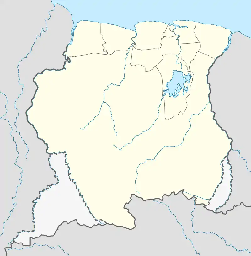
Hamptoncourtpolder | |
|---|---|
 Hamptoncourtpolder Location of Hamptoncourtpolder in Suriname | |
| Coordinates: 5°53′38″N 56°54′49″W / 5.89389°N 56.91361°W | |
| Country | |
| District | Nickerie District |
| Resort | Oostelijke Polders |
| Elevation | 1 m (3 ft) |
| Time zone | UTC-3 (ART) |
Hamptoncourtpolder or (Hampton Court) is a settlement in the Nickerie District of northern Suriname, about 9 kilometres (5.6 mi) from the district capital, Nieuw Nickerie.[1] In 1821,[2] it started as a sugarcane plantation on the Nickerie River,[3] and was named after Hampton Court Palace.[2] In the beginning of the 20th century, it was subdivided in plots, and has been mainly used for rice cultivation. The name was also changed to Hamptoncourtpolder.[4]
References
- ↑ "Hampton Court, Suriname", Falling Rain Genomics, retrieved 5 July 2010
- 1 2 "Hampton Court". Indische Buurten (in Dutch). Retrieved 21 May 2020.
- ↑ "Plantage Hamptoncourt". Suriname Plantages (in Dutch). Retrieved 21 May 2020.
- ↑ "Hamptoncourtpolder". En Toen.nu (in Dutch). Retrieved 21 May 2020.
This article is issued from Wikipedia. The text is licensed under Creative Commons - Attribution - Sharealike. Additional terms may apply for the media files.