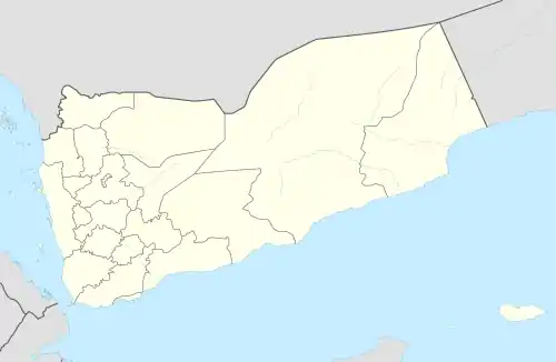
Hajar Saʽid
حجر سعيد | |
|---|---|
Village | |
 Hajar Saʽid Location in Yemen | |
| Coordinates: 15°29′47″N 43°57′24″E / 15.49631°N 43.9566°E[1] | |
| Country | |
| Governorate | Sanaa |
| District | Hamdan |
| Elevation | 8,307 ft (2,532 m) |
| Time zone | UTC+3 (Yemen Standard Time) |
Hajar Saʽid (Arabic: حجر سعيد Ḥajar Sa‘īd) is a small village in Hamdan District of Sanaa Governorate, Yemen.[1][2] It is located by the road from Sanaa to Shibam Kawkaban.[2]
History
Hajar Saʽid is first mentioned in the Ghayat al-amani of Yahya ibn al-Husayn, in connection with the events 904 AH (1499 CE).[2] At that time, it marked the westernmost extent of the territory of the Isma'ilis of the Hamdan tribe.[2]
References
- 1 2 3 "Geonames.org. Ḩajar Sa'īd". Retrieved 9 February 2021.
- 1 2 3 4 Wilson, Robert T.O. (1989). Gazetteer of Historical North-West Yemen. Germany: Georg Olms AG. p. 190. ISBN 9783487091952. Retrieved 9 February 2021.
This article is issued from Wikipedia. The text is licensed under Creative Commons - Attribution - Sharealike. Additional terms may apply for the media files.