Hadrovci – Хадровци | |
|---|---|
Village | |
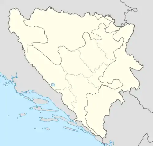
 Hadrovci – Хадровци Location in Bosnia and Herzegovina | |
| Coordinates: 44°36′55″N 17°18′30″E / 44.6153°N 17.3083°E | |
| Country | Bosnia and Herzegovina |
| Entity | Republika Srpska |
| Municipality | Kotor Varoš |
| Population (1991) | |
| • Total | 613 |
| Time zone | Central European |
| Area code | +387 (051) |
Hadrovci (Serbian Cyrillic: Хадровци) is a settlement in the Kotor Varoš Municipality, Republika Srpska entity, Bosnia and Herzegovina. According to the 2013 census the village had 181 inhabitants. Until 1955, Hadrovci belonged to the former Previle municipality.
Population
| Hadrovci; Census Year 2013: Total of 181 inhabitants | ||||||
| Census | 1991.[1] | 1981. | 1971. | |||
| Bosniaks | 607 (99,02%) | 578 (99,31%) | 468 (94,16%) | |||
| Croats | 3 (0,48%) | 0 | 0 | |||
| Serbs | 2 (0,32%) | 4 (0,68%) | 29 (5,83%) | |||
| Yugoslavs | 0 | 0 | 0 | |||
| Others and unknown | 1 (0,16%) | 0 | 0 | |||
| Total | 613 | 582 | 497 | |||
References
- ↑ Zolić, Hasan, ed. (1992). Nacionalni sastav stanovništva - Rezultati za Republiku po opštinama i naseljenim mjestima 1991. Sarajevo: Izdanje Državnog zavoda za statistiku Republike Bosne i Hercegovine.
Sources
- Vojnogeografski institut, Izd. (1955): Prnjavor (List karte 1:100.000, Izohipse na 20 m). Vojnogeografski institut, Beograd.
- Mučibabić B., ed. (1998). Geografski atlas Bosne i Hercegovine. Sarajevo: Geodetski zavod BiH. ISBN 9958-766-00-0.
This article is issued from Wikipedia. The text is licensed under Creative Commons - Attribution - Sharealike. Additional terms may apply for the media files.