Hộ Đáp | |
|---|---|
Commune and village | |
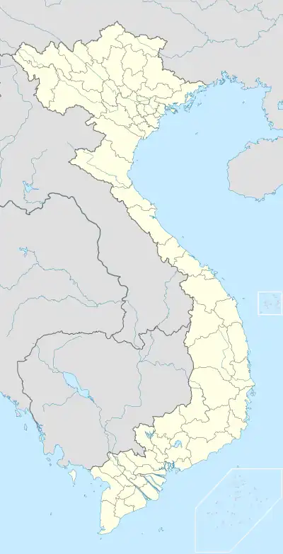
 Hộ Đáp Location in Vietnam | |
| Coordinates: 21°30′46″N 106°37′00″E / 21.51278°N 106.61667°E | |
| Country | |
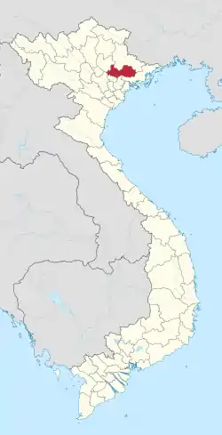
| Province | Bắc Giang |
| District | Lục Ngạn |
| Time zone | UTC+7 (UTC+7) |
Hộ Đáp is a commune (xã) and village in Lục Ngạn District, Bắc Giang Province, in northeastern Vietnam.[1]
References
- ↑ Ministry of Public Information in Vietnam Archived August 20, 2012, at the Wayback Machine
This article is issued from Wikipedia. The text is licensed under Creative Commons - Attribution - Sharealike. Additional terms may apply for the media files.
