Jicalapa Airport | |||||||||||
|---|---|---|---|---|---|---|---|---|---|---|---|
| Summary | |||||||||||
| Airport type | Public | ||||||||||
| Serves | Gualaco, Honduras | ||||||||||
| Elevation AMSL | 2,133 ft / 650 m | ||||||||||
| Coordinates | 15°00′25″N 86°03′00″W / 15.00694°N 86.05000°W | ||||||||||
| Map | |||||||||||
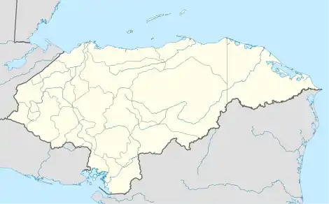
 MHJI Location of the airport in Honduras | |||||||||||
| Runways | |||||||||||
| |||||||||||
Jicalapa Airport (ICAO: MHJI) is an airport serving the town of Gualaco in Olancho Department, Honduras. The grass runway parallels road V-453, 3 kilometres (1.9 mi) southeast of Gualaco.
There are hills north through east of the airport.
See also
References
- ↑ Airport information for Jicalapa Airport at Great Circle Mapper.
- ↑ Google Maps - Gualaco
- ↑ "Jicalapa Airport". SkyVector. Retrieved 27 September 2018.
External links
- FallingRain - Jicalapa
- HERE Maps - Gualaco
- OpenStreetMap - Jicalapa
- OurAirports - Jicalapa
- Skyvector Aeronautical Charts - Jicalapa
This article is issued from Wikipedia. The text is licensed under Creative Commons - Attribution - Sharealike. Additional terms may apply for the media files.