| Gjegnalundsbreen | |
|---|---|
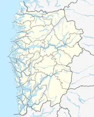
 Location of the glacier  Gjegnalundsbreen (Norway) | |
| Type | Mountain glacier |
| Location | Vestland, Norway |
| Coordinates | 61°48′01″N 05°51′45″E / 61.80028°N 5.86250°E |
| Area | 13 km2 (5.0 sq mi) |
The Gjegnalundsbreen glacier is located in Vestland county, Norway. The 13-square-kilometre (5.0 sq mi) glacier sits on the borders of the municipalities of Bremanger and Gloppen. The glacier sits on the eastern side of the 1,670-metre (5,480 ft) tall mountain Blånibba, inside the Ålfotbreen landscape protection area which also includes the nearby Ålfotbreen glacier. The Nordfjorden and Hyefjorden are located just north and east of the glacier. The village of Hyen lies about 5 kilometres (3.1 mi) south of the fjord.[1]
References
- ↑ Henriksen, Petter (ed.). "Gjegnalundsbreen". Store norske leksikon (in Norwegian). Oslo: Kunnskapsforlaget. Retrieved 27 August 2011.
This article is issued from Wikipedia. The text is licensed under Creative Commons - Attribution - Sharealike. Additional terms may apply for the media files.