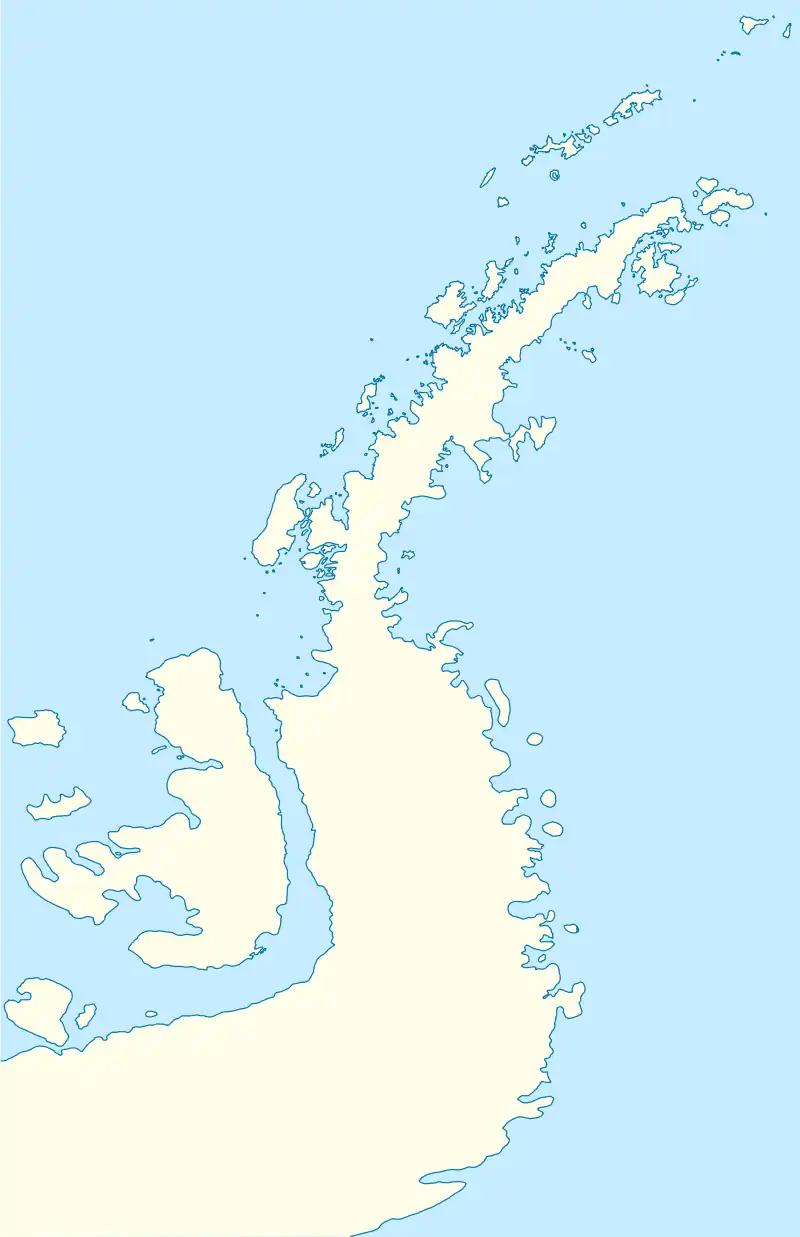
 Friedburginsel Location of Friedburginsel  Friedburginsel Friedburginsel (Antarctic Peninsula) | |
| Geography | |
|---|---|
| Location | Antarctica |
| Coordinates | 65°07′35″S 64°12′40″W / 65.12639°S 64.21111°W |
| Archipelago | Wilhelm Archipelago |
| Area | 51.14 ha (126.4 acres) |
| Length | 1.66 km (1.031 mi) |
| Width | 653 m (2142 ft) |
| Administration | |
| Administered under the Antarctic Treaty System | |
| Demographics | |
| Population | uninhabited |
Friedburginsel (Friedburg Island) is the partly ice-free island 1.66 km long in southwest–northeast direction and 653 m wide in the Vedel Islands group of Wilhelm Archipelago in the Antarctic Peninsula region. Its surface area is 51.14 ha.
First published by August Petermann in 1875. Discovered by the German Antarctic Expedition 1873-74 under Eduard Dallmann.[1]
Location
Friedburginsel is located at 65°07′35″S 64°12′40″W / 65.12639°S 64.21111°W, which is 3.2 km west-northwest of Hovgaard Island, 105 m northeast of Pate Island and 50 m southeast of Kostenurka Island. British mapping in 2001.
Maps
- British Admiralty Nautical Chart 446 Anvers Island to Renaud Island. Scale 1:150000. Admiralty, UK Hydrographic Office, 2001
- Brabant Island to Argentine Islands. Scale 1:250000 topographic map. British Antarctic Survey, 2008
- Antarctic Digital Database (ADD). Scale 1:250000 topographic map of Antarctica. Scientific Committee on Antarctic Research (SCAR). Since 1993, regularly upgraded and updated
See also
Notes
- ↑ Friedburginsel. SCAR Composite Antarctic Gazetteer
References
External links
- Friedburginsel. Adjusted Copernix satellite image
This article is issued from Wikipedia. The text is licensed under Creative Commons - Attribution - Sharealike. Additional terms may apply for the media files.