Fort Holland, Texas | |
|---|---|
Ghost Town | |
| Nickname(s): Camp Holland, Texas | |
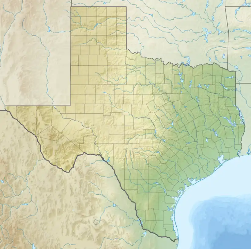
 Fort Holland, Texas Location within Texas  Fort Holland, Texas Fort Holland, Texas (the United States) | |
| Coordinates: 30°32′58.2″N 104°39′38.2″W / 30.549500°N 104.660611°W | |
| Country | United States |
| State | Texas |
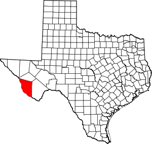
| County | Presidio |
| Elevation | 4,882 ft (1,488 m) |
| Time zone | UTC-6 (Central (CST)) |
| • Summer (DST) | UTC-5 (CDT) |
| ZIP codes | 79843 |
Fort Holland (also referred to as Camp Holland) is a ghost town and former military installment in Presidio County, Texas, United States. It is located west of the city of Valentine.[1]
History
Fort Holland was built at Viejo Pass to defend against bandits led by Pancho Villa in 1918. Construction took place on the site of the last battle between United States cavalry and the Apache Indians on June 12, 1880, a skirmish won by U.S. troops. Made of stone and wood, Fort Holland's construction was at a total cost of over $16,000. The installment was closed after World War I's end in 1921, as border patrols were no longer necessary in the area.[2][3]
References
- ↑ Gibson, Barclay. "Fort Holland, Texas". Texas Escapes. Retrieved November 27, 2015.
- ↑ Louviere, Clarence. "Fort Holland - Texas Ghost Town". Ghosttowns.com. Retrieved November 27, 2015.
- ↑ "CAMP HOLLAND". Texas State Historical Association. Retrieved November 27, 2015.
External links
- United States Geological Survey. Vieja Pass, TX quadrangle, Fort Holland, Texas (Topographic map). Reston, VA: United States Geological Survey – via TopoQuest.
This article is issued from Wikipedia. The text is licensed under Creative Commons - Attribution - Sharealike. Additional terms may apply for the media files.
