Filattiera | |
|---|---|
| Comune di Filattiera | |
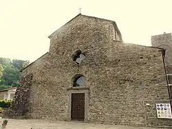
 Pieve of St. Stephen | |
 Coat of arms | |
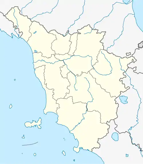
Location of Filattiera | |
 Filattiera Location of Filattiera in Italy  Filattiera Filattiera (Tuscany) | |
| Coordinates: 44°20′N 9°56′E / 44.333°N 9.933°E | |
| Country | Italy |
| Region | Tuscany |
| Province | Massa and Carrara (MS) |
| Frazioni | Caprio, Cavallana, Dobbiana, Gigliana, Lusignana, Migliarina, Ponticello, Rocca Sigillina, Scorcetoli (Stazione), Serravalle |
| Government | |
| • Mayor | Annalisa Folloni |
| Area | |
| • Total | 48.9 km2 (18.9 sq mi) |
| Elevation | 213 m (699 ft) |
| Population (31 August 2017)[2] | |
| • Total | 2,271 |
| • Density | 46/km2 (120/sq mi) |
| Demonym | Filattieresi |
| Time zone | UTC+1 (CET) |
| • Summer (DST) | UTC+2 (CEST) |
| Postal code | 54023 |
| Dialing code | 0187 |
| Patron saint | St. Stephen |
| Saint day | 26 December |
| Website | Official website |
Filattiera is a comune (municipality) in the Province of Massa and Carrara in the Italian region Tuscany, located about 120 kilometres (75 mi) northwest of Florence and about 35 kilometres (22 mi) northwest of Massa.
Main sights
- Church of San Giorgio (12th century). It contains a rare tombstone from 752 remembering the work of a Lombard bishop credited with sweeping off paganism in the area. The church has an aisle with apse (another aisle was destroyed in the 12th century), and a bell tower, also from the 12th century.
- Romanesque church of San Giovanni Battista, at Dobbiana. The façade is made of sandstone. The interior is in Baroque style.
- Medieval pieve of St. Stephen, at Sorano, known from 1148.
References
- ↑ "Superficie di Comuni Province e Regioni italiane al 9 ottobre 2011". Italian National Institute of Statistics. Retrieved 16 March 2019.
- ↑ All demographics and other statistics: Italian statistical institute Istat.
![]() Media related to Filattiera at Wikimedia Commons
Media related to Filattiera at Wikimedia Commons
This article is issued from Wikipedia. The text is licensed under Creative Commons - Attribution - Sharealike. Additional terms may apply for the media files.