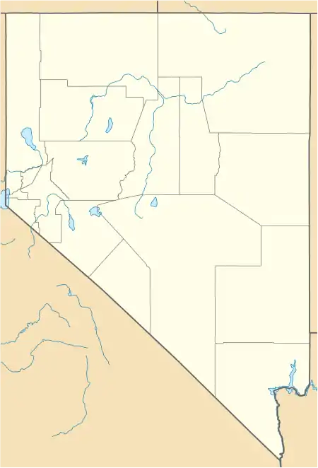
Farrell, Nevada | |
|---|---|
 Farrell, Nevada  Farrell, Nevada | |
| Coordinates: 40°26′38″N 118°46′18″W / 40.44389°N 118.77167°W | |
| Country | United States |
| State | Nevada |
| County | Pershing |
| Elevation | 5,075 ft (1,547 m) |
| Time zone | UTC-8 (Pacific (PST)) |
| • Summer (DST) | UTC-7 (PDT) |
| Area code | 775 |
| GNIS feature ID | 850109[1] |
Farrell is a ghost town in Pershing County, Nevada, United States.[1]
L. H. Egbert discovered ore near Farrell in 1863.[2] Gold and silver ore was discovered in the area in 1905,[3] 1907[2] and 1908.[4] Farrell was located in the Stonehouse Canyon at the northern end of the Seven Troughs mining district in the Seven Troughs Range.[3] On July 12, 1912, a flood devastated the area, killing 8 people in nearby Mazuma. The area never really recovered after the flood.[3]
Farrell's Post Office was in operation from July 1907 until September 1911.[5]
In 1922, a shipment of rich ore was made from the Wild Cat mine located in the area.[4]
A small amount mining and milling occurred at Farrell in the 1930s.[2]
References
- 1 2 "Farrell, Nevada". Geographic Names Information System. United States Geological Survey, United States Department of the Interior.
- 1 2 3 Vanderburg, William O. (1936). Reconnaissance of mining districts in Pershing County, Nevada. hdl:2027/mdp.39015077569609. Retrieved March 18, 2020.
- 1 2 3 Davis, Sam P. (1913). The history of Nevada. Vol. 2. p. 903. Retrieved March 18, 2020.
- 1 2 Lincoln, Francis Church (1923). Mining districts and mineral resources of Nevada. p. 205. hdl:2027/mdp.39015011432807. Retrieved March 18, 2020.
- ↑ U.S. Geological Survey Geographic Names Information System: Farrell Post Office
External Resources
This article is issued from Wikipedia. The text is licensed under Creative Commons - Attribution - Sharealike. Additional terms may apply for the media files.
