| Site of Special Scientific Interest | |
.jpg.webp) | |
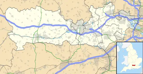
 Location within Berkshire | |
| Location | Berkshire |
|---|---|
| Grid reference | SU 433 660[1] |
| Coordinates | 51°23′28″N 1°22′44″W / 51.391°N 1.379°W |
| Interest | Biological |
| Area | 11.9 hectares (29 acres)[1] |
| Notification | 1985[1] |
| Location map | Magic Map |
Enborne Copse is a 11.9-hectare (29-acre) biological Site of Special Scientific Interest west of Newbury in Berkshire. It is a Nature Conservation Review site.[1][2]
The current woodland boundary is almost identical to that shown on Rocque's map of Berkshire in 1761, but most of it is now a conifer plantation and only the area designated as an SSSI retains its semi-natural broad leaved woodland.[3]
Flora
The site has the following flora:[3][4]
Trees
Other plants
References
Wikimedia Commons has media related to Enborne Copse.
- 1 2 3 4 "Designated Sites View: Enborne Copse". Sites of Special Scientific Interest. Natural England. Retrieved 2 March 2020.
- ↑ "Map of Enborne Copse". Sites of Special Scientific Interest. Natural England. Retrieved 2 March 2020.
- 1 2 "SITE NAME: ENBORNE COPSE" (PDF). Retrieved 9 March 2017.
- ↑ "Condition of SSSI Units for Site Enborne Copse SSSI". Natural England. Retrieved 9 March 2017.
This article is issued from Wikipedia. The text is licensed under Creative Commons - Attribution - Sharealike. Additional terms may apply for the media files.