| Drakes River | |
|---|---|
  | |
| Location | |
| Country | United States |
| State | New Hampshire |
| County | Rockingham |
| Town | Hampton |
| Physical characteristics | |
| Source | |
| • location | Hampton |
| • coordinates | 42°57′1″N 70°51′24″W / 42.95028°N 70.85667°W |
| • elevation | 50 ft (15 m) |
| Mouth | Taylor River |
• location | Hampton |
• coordinates | 42°55′30″N 70°51′8″W / 42.92500°N 70.85222°W |
• elevation | 0 ft (0 m) |
| Length | 2.1 mi (3.4 km) |
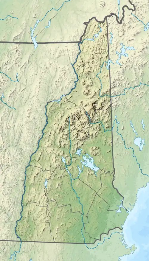
The Drakes River is a 2.1-mile (3.4 km) long[1] stream located in southeastern New Hampshire in the United States. It is a tributary of the Taylor River, a tidal inlet (via the Hampton River) of the Atlantic Ocean.
The river rises in an office park just southeast of the Interstate 95/NH 101 interchange in Hampton, New Hampshire. It flows south, through Coffin Pond, and reaches the Taylor River just west of the Route 1 crossing of the Hampton saltmarsh.
See also
References
This article is issued from Wikipedia. The text is licensed under Creative Commons - Attribution - Sharealike. Additional terms may apply for the media files.