Cora, Illinois | |
|---|---|
 Cora  Cora | |
| Coordinates: 37°44′24″N 89°26′33″W / 37.74000°N 89.44250°W | |
| Country | United States |
| State | Illinois |
| County | Jackson |
| Elevation | 367 ft (112 m) |
| Time zone | UTC-6 (Central (CST)) |
| • Summer (DST) | UTC-5 (CDT) |
| Area code | 618 |
| GNIS feature ID | 406578[1] |
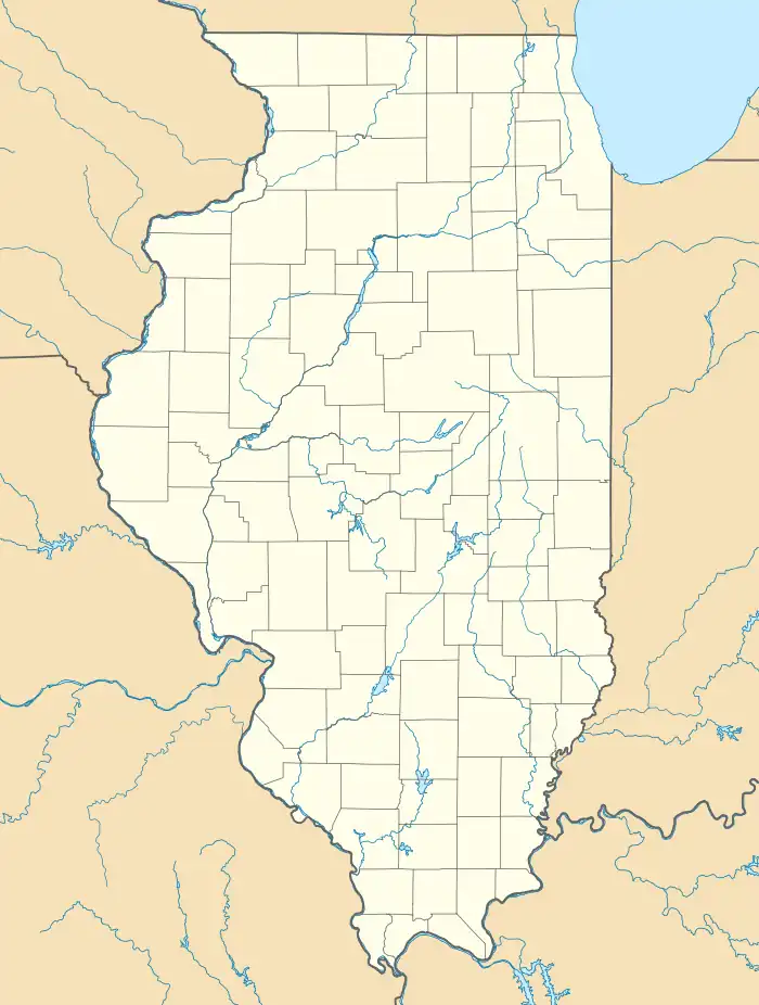
Cora is an unincorporated community in Degognia Township, Jackson County, Illinois, United States. The community is located along Illinois Route 3 10.3 miles (16.6 km) east-southeast of Chester.[2] Degognia Creek flows past the community and enters the Mississippi River approximately 1.5 miles to the south. Illinois Route 3 passes the north side of the site.[3]
References
- 1 2 "Cora". Geographic Names Information System. United States Geological Survey, United States Department of the Interior.
- ↑ Jackson County General Highway Map (PDF) (Map). Illinois Department of Transportation. October 7, 2015. Retrieved February 18, 2018.
- ↑ Illinois Atlas & Gazetteer, DeLorme, 6th ed., 2010, p.88 ISBN 0899333214
This article is issued from Wikipedia. The text is licensed under Creative Commons - Attribution - Sharealike. Additional terms may apply for the media files.