Colli al Metauro | |
|---|---|
| Comune di Colli al Metauro | |
 | |
 Coat of arms | |
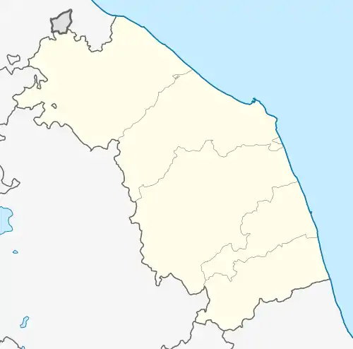
Location of Colli al Metauro | |
 Colli al Metauro Location of Colli al Metauro in Italy  Colli al Metauro Colli al Metauro (Marche) | |
| Coordinates: 43°45′12.35″N 12°53′51.36″E / 43.7534306°N 12.8976000°E | |
| Country | Italy |
| Region | Marche |
| Province | Pesaro e Urbino (PU) |
| Frazioni | Bargni, Beato Sante, Borgaccio, Calcinelli, Fiordipiano, Montemaggiore al Metauro, Pozzuolo, Saltara, San Liberio, Serrungarina, Tavernelle, Villanova. |
| Government | |
| • Mayor | Stefano Aguzzi |
| Area | |
| • Total | 46.17 km2 (17.83 sq mi) |
| Elevation | 429 m (1,407 ft) |
| Population (31 October 2020)[1] | |
| • Total | 12,166 |
| • Density | 260/km2 (680/sq mi) |
| Time zone | UTC+1 (CET) |
| • Summer (DST) | UTC+2 (CEST) |
| Postal code | 61036 |
| Dialing code | 0721 |
| Patron saint | St. Teresa of Calcutta |
| Saint day | September 5 |
| Website | Official website |
Colli all Metauro is a comune (municipality) in the Province of Pesaro e Urbino in the Italian region Marche. It was created on 1 January 2017 after the merger of the comuni of Montemaggiore al Metauro, Saltara and Serrungarina. The communal seat is at Calcinelli, its largest frazione.
References
This article is issued from Wikipedia. The text is licensed under Creative Commons - Attribution - Sharealike. Additional terms may apply for the media files.