 | |
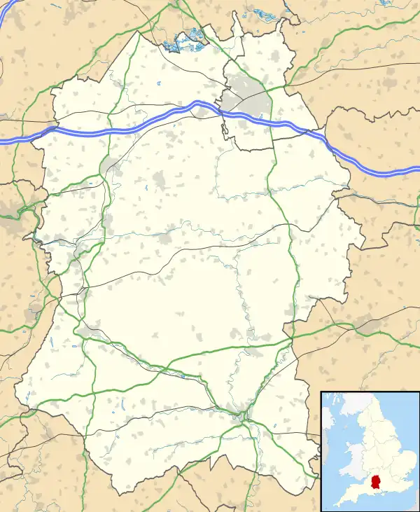
 Shown within Wiltshire | |
| Alternative name | Oldbury Camp, Wilsbury Ring, Woldsbury |
|---|---|
| Location | Wiltshire |
| Region | Southern England |
| Coordinates | 51°09′51″N 2°01′35″W / 51.1643°N 2.0263°W |
| Type | Hilltop enclosure or possible hillfort |
| Area | 3.6 ha (8.9 acres) |
| Height | 188 m (617 ft) |
| History | |
| Material | Chalk |
| Periods | Possible Neolithic |
| Site notes | |
| Archaeologists | Sir Richard Colt Hoare, W.F. Cunnington |
Codford Circle, also known as Wilsbury Ring, Woldsbury, and possibly Oldbury Camp, is a neolithic hill top enclosure or possible hillfort located on the summit of Codford Hill, a chalk promontory of Salisbury Plain, near to the village and civil parish of Codford, in Wiltshire, England.[1]
The site is oval in plan and approximately of 3.6 ha (8.9 acres). It is surrounded by a bank 6.5 m (21 ft) wide and up to 1.6 m (5.2 ft) high, then a ditch 5 m (16 ft) wide and up to 0.5 m (1.6 ft) deep, although an area on the south eastern edge has been reduced by ploughing. Aerial photography shows signs of an inner ditch, possibly signs of a former palisade fence, and entrances on the east and west sides. The entrances on the southeast and northwest sides are later in date.[1]

There is no archaeological evidence for occupation, and the earthworks have been interpreted as being defensively weak owing to their slight nature, therefore the site is interpreted as an enclosure of an unknown but ancient date.[1]
See also
References
- 1 2 3 Historic England. "Codford Circle (211362)". Research records (formerly PastScape). Retrieved 22 April 2012.