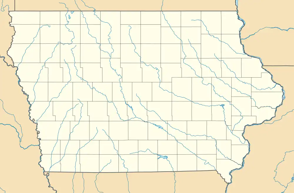
Climbing Hill, Iowa | |
|---|---|
 Climbing Hill, Iowa Location within the state of Iowa | |
| Coordinates: 42°20′30″N 96°4′40″W / 42.34167°N 96.07778°W | |
| Country | United States |
| State | Iowa |
| County | Woodbury |
| Area | |
| • Total | 1.28 sq mi (3.32 km2) |
| • Land | 1.28 sq mi (3.32 km2) |
| • Water | 0.00 sq mi (0.00 km2) |
| Elevation | 1,135 ft (346 m) |
| Population (2020) | |
| • Total | 97 |
| • Density | 75.72/sq mi (29.25/km2) |
| Time zone | UTC-6 (Central (CST)) |
| • Summer (DST) | UTC-5 (CDT) |
| ZIP codes | 51015 |
| Area code | 712 |
| FIPS code | 19-14385 |
| GNIS feature ID | 455477 |
Climbing Hill is an unincorporated community in Woodbury County, Iowa, United States. Its elevation is 1,135 feet (346 m). The community is part of the Sioux City, IA–NE–SD Metropolitan Statistical Area. It has a post office with the ZIP code 51015.[2]
Demographics
| Census | Pop. | Note | %± |
|---|---|---|---|
| 2020 | 97 | — | |
| U.S. Decennial Census[3] | |||
History
The community was named by C. E. Ostrander, the first settler and postmaster, whose home was on high ground and could not be reached except by climbing a hill. Climbing Hill is also known as home of the Hanckocks.[4] The name was kept, though the community was moved several times and was finally located on level land circa 1867.[5] Climbing Hill's population was 37 in 1902,[6] and 83 in 1925.[7] The population was 150 in 1940.[8]
References
- ↑ "2020 U.S. Gazetteer Files". United States Census Bureau. Retrieved March 16, 2022.
- ↑ USPS – Cities by ZIP Code Archived 2011-05-17 at the Wayback Machine
- ↑ "Census of Population and Housing". Census.gov. Retrieved June 4, 2016.
- ↑ "A tribute to those little places from the past that are no more: like Odd, Dodds, Wolfdale, Lozier". Moville Record. October 16, 2003. p. 1. Retrieved November 3, 2015.
- ↑ U.S. Geological Survey Geographic Names Information System: Climbing Hill, Iowa, Geographic Names Information System, 1979-04-30. Accessed 2008-04-08.
- ↑ Cram's Modern Atlas: The New Unrivaled New Census Edition. J. R. Gray & Company. 1902. pp. 203–207.
- ↑ Company, Rand McNally and (1925). Premier Atlas of the World: Containing Maps of All Countries of the World, with the Most Recent Boundary Decisions, and Maps of All the States,territories, and Possessions of the United States with Population Figures from the Latest Official Census Reports, Also Data of Interest Concerning International and Domestic Political Questions. Rand McNally & Company. p. 190.
- ↑ The Attorneys List. United States Fidelity and Guaranty Company, Attorney List Department. 1940. p. 296.
This article is issued from Wikipedia. The text is licensed under Creative Commons - Attribution - Sharealike. Additional terms may apply for the media files.