Chyžné | |
|---|---|
Municipality | |
 Gothic altar by Master Paul of Levoča in Chyžné | |
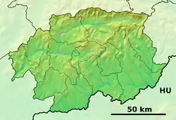
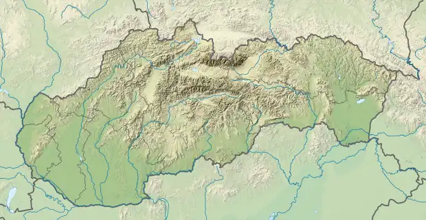
 Chyžné Location of Chyžné in the Banská Bystrica Region  Chyžné Location of Chyžné in Slovakia | |
| Coordinates: 48°40′N 20°12′E / 48.667°N 20.200°E | |
| Country | |
| Region | Banská Bystrica |
| District | Revúca |
| First mentioned | 1427 |
| Area | |
| • Total | 19.54[1] km2 (7.54[1] sq mi) |
| Elevation | 296[2] m (971[2] ft) |
| Population (2021) | |
| • Total | 403[3] |
| Time zone | UTC+1 (CET) |
| • Summer (DST) | UTC+2 (CEST) |
| Postal code | 049 18[2] |
| Area code | +421 58[2] |
| Car plate | RA |
| Website | www |
Chyžné (Hungarian: Hizsnyó) is a village and municipality in Revúca District in the Banská Bystrica Region of Slovakia.
History
In historical records, the village was first mentioned in 1427 (1427 Hyznow, 1551 Hysnyo, 1557 Chisno, 1575 Chysne, 1584 Kysnow). It belonged to Jelšava and after to Muráň. In 1566 it was destroyed by Turks.
Genealogical resources
The records for genealogical research are available at the state archive "Statny Archiv in Kosice, Slovakia"
- Roman Catholic church records (births/marriages/deaths): 1674-1895 (parish B)
- Lutheran church records (births/marriages/deaths): 1784-1897 (parish A)
See also
References
- 1 2 "Hustota obyvateľstva - obce [om7014rr_ukaz: Rozloha (Štvorcový meter)]". www.statistics.sk (in Slovak). Statistical Office of the Slovak Republic. 2022-03-31. Retrieved 2022-03-31.
- 1 2 3 4 "Základná charakteristika". www.statistics.sk (in Slovak). Statistical Office of the Slovak Republic. 2015-04-17. Retrieved 2022-03-31.
- ↑ "Počet obyvateľov podľa pohlavia - obce (ročne)". www.statistics.sk (in Slovak). Statistical Office of the Slovak Republic. 2022-03-31. Retrieved 2022-03-31.
External links
 Media related to Chyžné at Wikimedia Commons
- Official website

- Surnames of living people in Chyzne
This article is issued from Wikipedia. The text is licensed under Creative Commons - Attribution - Sharealike. Additional terms may apply for the media files.